Görlitz night lights from space
Night Light of Görlitz (Saxony) from space (Germany) Src. Average luminocity for 10x10km area is 33.2567% and for 50x50km: 3.1897%.
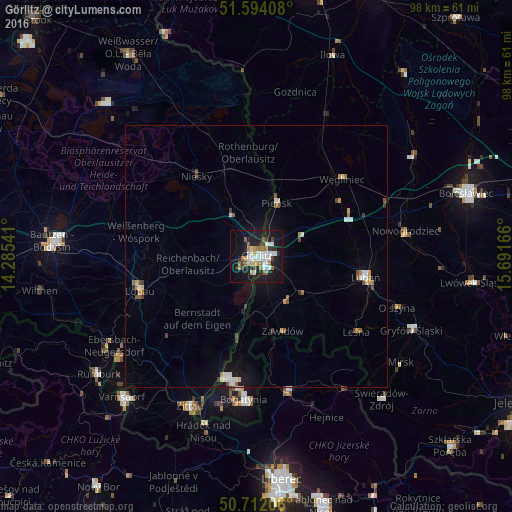
Analysis of Görlitz night lights 2016
Square area 10x10 km:
 7.35%
7.35%90-99
6.68%80-89
2.01%70-79
2.94%60-69
5.75%50-59
3.74%40-49
1.74%30-39
2.94%20-29
7.09%10-19
36.1%0-9
23.66%Square area 50x50 km:
0.51%90-99
0.54%80-89
0.24%70-79
0.37%60-69
0.37%50-59
0.45%40-49
0.31%30-39
0.34%20-29
0.37%10-19
2.26%0-9
94.25%Clear (daylight) street map image can be seen on geolist.org.
Map coordinates:
51° 35' 38.7" North, 14° 17' 7.5" East
51° 9' 18.6" North, 14° 59' 18.7" East
50° 42' 43.4" North, 15° 41' 30" East
Some cities around Görlitz sort by population:
• Zgorzelec, PL
1.5 km =0.9 mi,  114°
114°
• Lubań, PL
21.2 km =13.2 mi,  100°
100°
• Bogatynia, PL
27.6 km =17.1 mi,  184°
184°
• Löbau
23.2 km =14.4 mi,  254°
254°
• Niesky
19.2 km =11.9 mi,  322°
322°
• Frýdlant, CZ
26.8 km =16.7 mi,  166°
166°
• Rothenburg
19.9 km =12.4 mi,  356°
356°
• Pieńsk, PL
11.2 km =7 mi,  21°
21°
2918987 (p: 57,751)
Sources (retrieved 2019-11-25):
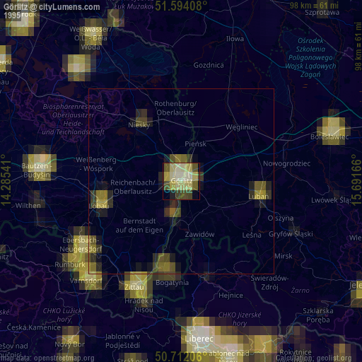
» NASA, Earths city lights 1995
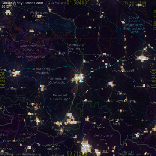
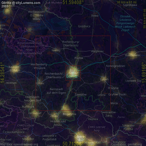
» NASA city lights 2003
» Earth at Night: Flat Maps 2012, 2016