Niesky night lights from space
Night Light of Niesky (Saxony) from space (Germany) Src. Average luminocity for 10x10km area is 0.6148% and for 50x50km: 2.4535%.
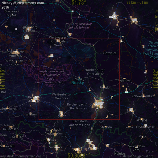
Analysis of Niesky night lights 2016
Square area 10x10 km:
 0%
0%90-99
0%80-89
0%70-79
0%60-69
0%50-59
0%40-49
1.12%30-39
0%20-29
0%10-19
0.56%0-9
98.32%Square area 50x50 km:
0.39%90-99
0.37%80-89
0.19%70-79
0.22%60-69
0.34%50-59
0.4%40-49
0.33%30-39
0.24%20-29
0.4%10-19
1.86%0-9
95.28%Clear (daylight) street map image can be seen on geolist.org.
Map coordinates:
51° 43' 48" North, 14° 7' 4.6" East
51° 17' 32.7" North, 14° 49' 15.9" East
50° 51' 2.2" North, 15° 31' 27.1" East
Some cities around Niesky sort by population:
• Görlitz
19.2 km =11.9 mi,  142°
142°
• Bautzen
29.6 km =18.4 mi,  245°
245°
• Zgorzelec, PL
20.6 km =12.8 mi, 140°
• Weißwasser
26.7 km =16.6 mi,  331°
331°
• Löbau
24 km =14.9 mi,  206°
206°
• Rothenburg
11.3 km =7 mi,  65°
65°
• Pieńsk, PL
16.4 km =10.2 mi,  107°
107°
• Cunewalde
30.1 km =18.7 mi,  224°
224°
2862460 (p: 11,111)
Sources (retrieved 2019-11-25):
» Earth at Night: Flat Maps 2012, 2016