Wołomin night lights from space
Night Light of Wołomin (Mazovia) from space (Poland) Src. Average luminocity for 10x10km area is 35.9912% and for 50x50km: 30.6137%.
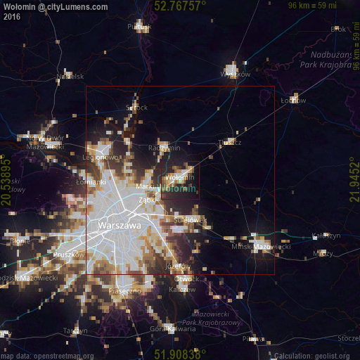
Analysis of Wołomin night lights 2016
Square area 10x10 km:
 2.9%
2.9%90-99
5.68%80-89
3.28%70-79
6.82%60-69
4.17%50-59
6.19%40-49
5.56%30-39
5.3%20-29
21.72%10-19
23.74%0-9
14.65%Square area 50x50 km:
11.62%90-99
6.71%80-89
2.36%70-79
2.81%60-69
2.67%50-59
2.58%40-49
2.64%30-39
2.96%20-29
4.92%10-19
8.25%0-9
52.47%Clear (daylight) street map image can be seen on geolist.org.
Map coordinates:
52° 46' 3.3" North, 20° 32' 20.2" East
52° 20' 24.2" North, 21° 14' 31.5" East
51° 54' 30.2" North, 21° 56' 42.7" East
Some cities around Wołomin sort by population:
• Ząbki
10.7 km =6.6 mi,  240°
240°
• Marki
9.6 km =6 mi,  256°
256°
• Rembertów
10.3 km =6.4 mi,  211°
211°
• Wesoła
9.6 km =6 mi,  187°
187°
• Sulejówek
9.9 km =6.2 mi,  169°
169°
• Kobyłka
3.1 km =1.9 mi,  268°
268°
• Zielonka
6.9 km =4.3 mi,  234°
234°
• Radzymin
9.3 km =5.8 mi,  335°
335°
754800 (p: 36,592)
Sources (retrieved 2019-11-25):
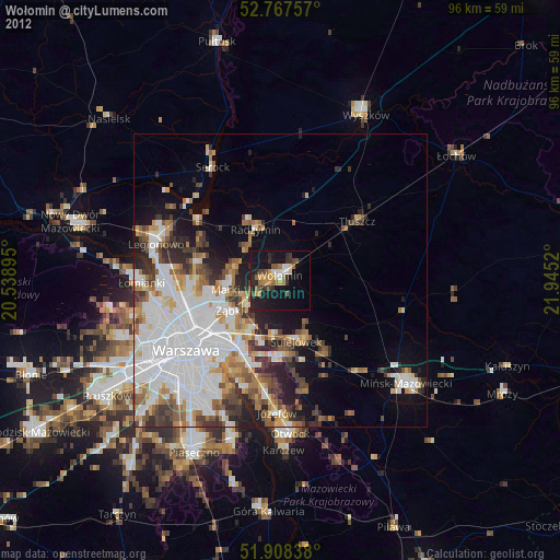
» Earth at Night: Flat Maps 2012, 2016