Radzymin night lights from space
Night Light of Radzymin (Mazovia) from space (Poland) Src. Average luminocity for 10x10km area is 17.7285% and for 50x50km: 25.5377%.
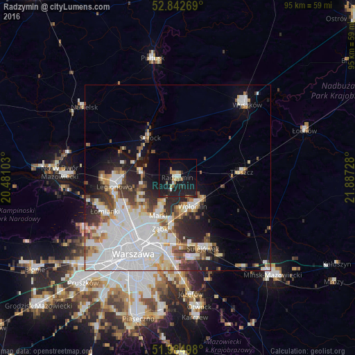
Analysis of Radzymin night lights 2016
Square area 10x10 km:
 1.26%
1.26%90-99
1.77%80-89
1.26%70-79
3.41%60-69
1.64%50-59
1.77%40-49
0.76%30-39
1.52%20-29
6.82%10-19
32.95%0-9
46.84%Square area 50x50 km:
9.81%90-99
5.4%80-89
2.01%70-79
2.24%60-69
2%50-59
2.12%40-49
2.21%30-39
2.72%20-29
4.23%10-19
7.39%0-9
59.88%Clear (daylight) street map image can be seen on geolist.org.
Map coordinates:
52° 50' 33.7" North, 20° 28' 51.7" East
52° 24' 57.3" North, 21° 11' 2.9" East
51° 59' 5.9" North, 21° 53' 14.2" East
Some cities around Radzymin sort by population:
• Targówek
16.6 km =10.3 mi,  213°
213°
• Wołomin
9.3 km =5.8 mi,  155°
155°
• Ząbki
14.7 km =9.1 mi,  201°
201°
• Marki
11.9 km =7.4 mi, 206°
• Rembertów
17.3 km =10.7 mi,  184°
184°
• Kobyłka
8.5 km =5.3 mi,  174°
174°
• Zielonka
12.6 km =7.8 mi,  187°
187°
• Tłuszcz
17.1 km =10.6 mi,  84°
84°
760684 (p: 8,818)
Sources (retrieved 2019-11-25):
» Earth at Night: Flat Maps 2012, 2016