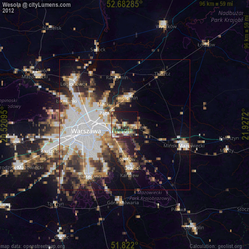
Wesoła night lights from space
Night Light of Wesoła (Mazovia) from space (Poland) Src. Average luminocity for 10x10km area is 55.6349% and for 50x50km: 36.1921%.
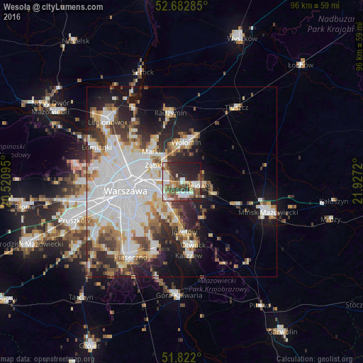
Analysis of Wesoła night lights 2016
Square area 10x10 km:
 12.43%
90-99
13.89%80-89
3.97%70-79
3.84%60-69
7.14%50-59
11.11%40-49
7.67%30-39
10.71%20-29
18.65%10-19
10.45%0-9
0.13%Square area 50x50 km:
12.56%90-99
7.82%80-89
3.2%70-79
3.32%60-69
3.48%50-59
3.33%40-49
3.39%30-39
4.13%20-29
6.64%10-19
10.75%0-9
41.37%Clear (daylight) street map image can be seen on geolist.org.
Map coordinates:
52° 40' 58.3" North, 20° 31' 15.4" East
52° 15' 16.2" North, 21° 13' 26.7" East
51° 49' 19.2" North, 21° 55' 37.9" East
Some cities around Wesoła sort by population:
• Praga Południe
9.5 km =5.9 mi,  263°
263°
• Wawer
7.2 km =4.5 mi,  206°
206°
• Wołomin
9.6 km =6 mi,  7°
7°
• Ząbki
9.1 km =5.7 mi,  297°
297°
• Rembertów
4.2 km =2.6 mi,  279°
279°
• Sulejówek
3.1 km =1.9 mi,  94°
94°
• Kobyłka
9.6 km =6 mi,  348°
348°
• Zielonka
7 km =4.3 mi,  321°
321°
756004 (p: 20,000)
Sources (retrieved 2019-11-25):
» Earth at Night: Flat Maps 2012, 2016