Rembertów night lights from space
Night Light of Rembertów (Mazovia) from space (Poland) Src. Average luminocity for 10x10km area is 73.1151% and for 50x50km: 38.9256%.
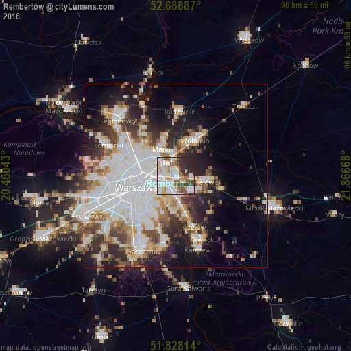
Analysis of Rembertów night lights 2016
Square area 10x10 km:
 25.93%
90-99
21.43%80-89
6.88%70-79
5.82%60-69
6.75%50-59
5.95%40-49
6.22%30-39
8.99%20-29
11.11%10-19
0.93%0-9
0%Square area 50x50 km:
13.26%90-99
8.35%80-89
3.47%70-79
3.61%60-69
3.97%50-59
3.76%40-49
3.88%30-39
4.54%20-29
7.28%10-19
10.84%0-9
37.06%Clear (daylight) street map image can be seen on geolist.org.
Map coordinates:
52° 41' 19.9" North, 20° 27' 37.5" East
52° 15' 38.1" North, 21° 9' 48.8" East
51° 49' 41.3" North, 21° 52' 0" East
Some cities around Rembertów sort by population:
• Praga Południe
5.6 km =3.5 mi,  251°
251°
• Targówek
8.6 km =5.3 mi,  293°
293°
• Wawer
7.2 km =4.5 mi,  172°
172°
• Ząbki
5.3 km =3.3 mi,  312°
312°
• Marki
7.8 km =4.8 mi,  329°
329°
• Wesoła
4.2 km =2.6 mi,  99°
99°
• Sulejówek
7.2 km =4.5 mi, 97°
• Zielonka
4.8 km =3 mi,  357°
357°
760503 (p: 21,893)
Sources (retrieved 2019-11-25):
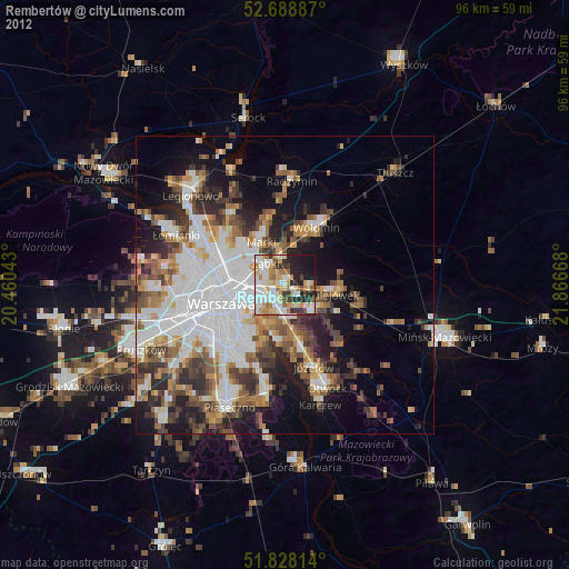
» Earth at Night: Flat Maps 2012, 2016