Wawer night lights from space
Night Light of Wawer (Mazovia) from space (Poland) Src. Average luminocity for 10x10km area is 67.422% and for 50x50km: 38.7326%.
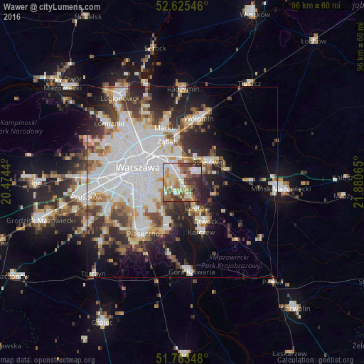
Analysis of Wawer night lights 2016
Square area 10x10 km:
 13.23%
90-99
16.27%80-89
12.04%70-79
8.6%60-69
10.85%50-59
8.73%40-49
7.28%30-39
12.83%20-29
10.19%10-19
0%0-9
0%Square area 50x50 km:
13.34%90-99
8.4%80-89
3.35%70-79
3.45%60-69
3.89%50-59
3.65%40-49
3.95%30-39
4.6%20-29
7%10-19
10.68%0-9
37.7%Clear (daylight) street map image can be seen on geolist.org.
Map coordinates:
52° 37' 31.7" North, 20° 28' 27.8" East
52° 11' 47.6" North, 21° 10' 39.1" East
51° 45' 48.5" North, 21° 52' 50.3" East
Some cities around Wawer sort by population:
• Mokotów
9.7 km =6 mi,  267°
267°
• Praga Południe
8.2 km =5.1 mi,  310°
310°
• Kabaty
9.9 km =6.2 mi,  221°
221°
• Rembertów
7.2 km =4.5 mi,  352°
352°
• Wesoła
7.2 km =4.5 mi,  26°
26°
• Sulejówek
8.8 km =5.5 mi,  45°
45°
• Józefów
7.7 km =4.8 mi,  148°
148°
• Wilanów
7.2 km =4.5 mi,  238°
238°
756092 (p: 62,656)
Sources (retrieved 2019-11-25):
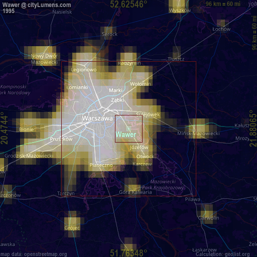
» NASA, Earths city lights 1995
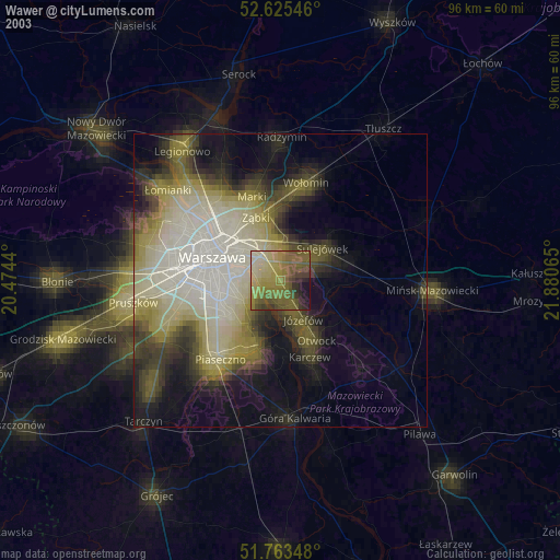
» NASA city lights 2003
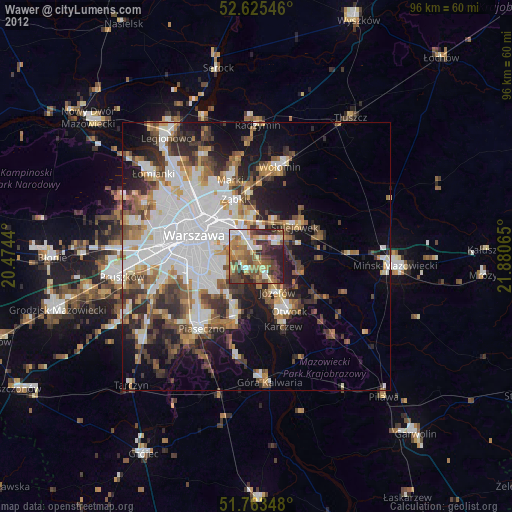
» Earth at Night: Flat Maps 2012, 2016