Mokotów night lights from space
Night Light of Mokotów (Mazovia) from space (Poland) Src. Average luminocity for 10x10km area is 97.1627% and for 50x50km: 42.55%.
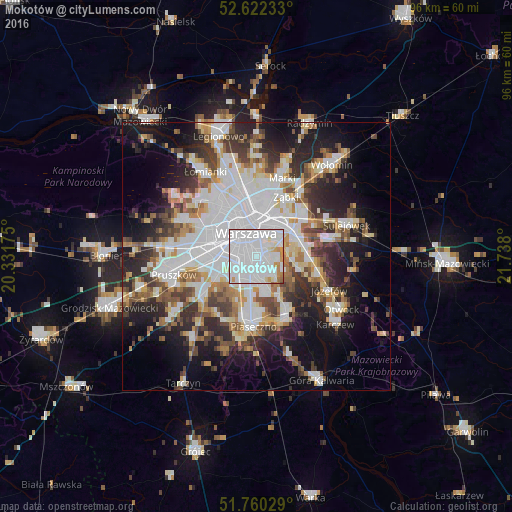

Analysis of Mokotów night lights 2016
Square area 10x10 km:
 72.88%
90-99
17.72%80-89
1.98%70-79
5.29%60-69
1.46%50-59
0.66%40-49
0%30-39
0%20-29
0%10-19
0%0-9
0%Square area 50x50 km:
13.84%90-99
8.96%80-89
3.65%70-79
3.81%60-69
4.38%50-59
4.58%40-49
4.69%30-39
5.27%20-29
8.91%10-19
13.02%0-9
28.89%Clear (daylight) street map image can be seen on geolist.org.
Map coordinates:
52° 37' 20.4" North, 20° 19' 54.3" East
52° 11' 36.2" North, 21° 2' 5.5" East
51° 45' 37" North, 21° 44' 16.8" East
Some cities around Mokotów sort by population:
• Warsaw
4.3 km =2.7 mi,  338°
338°
• Praga Południe
6.6 km =4.1 mi,  31°
31°
• Ursynów
4.9 km =3 mi,  167°
167°
• Wola
6.1 km =3.8 mi,  328°
328°
• Śródmieście
4.2 km =2.6 mi, 342°
• Ochota
4.6 km =2.9 mi,  312°
312°
• Włochy
6.2 km =3.9 mi,  255°
255°
• Wilanów
4.9 km =3 mi,  133°
133°
764484 (p: 212,670)
Sources (retrieved 2019-11-25):
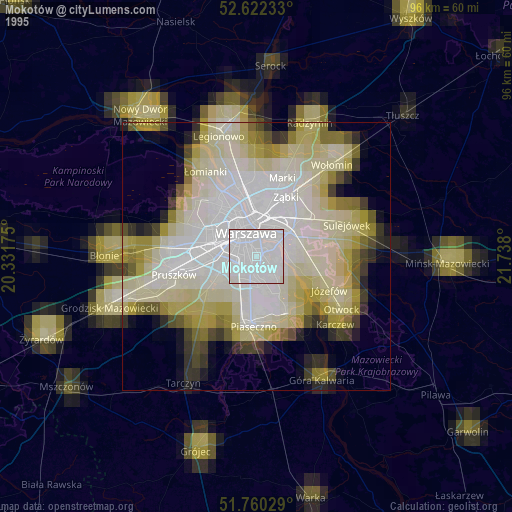
» NASA, Earths city lights 1995
» NASA city lights 2003
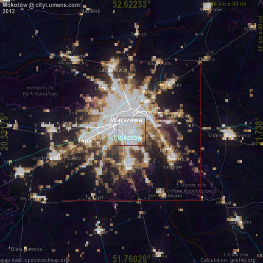
» Earth at Night: Flat Maps 2012, 2016