Kabaty night lights from space
Night Light of Kabaty (Mazovia) from space (Poland) Src. Average luminocity for 10x10km area is 74.4987% and for 50x50km: 38.1859%.
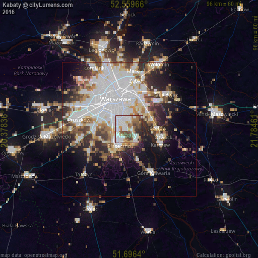
Analysis of Kabaty night lights 2016
Square area 10x10 km:
 26.59%
90-99
21.83%80-89
3.7%70-79
5.69%60-69
8.86%50-59
9.66%40-49
8.2%30-39
7.94%20-29
6.88%10-19
0.66%0-9
0%Square area 50x50 km:
13.38%90-99
8.31%80-89
3.21%70-79
3.33%60-69
3.83%50-59
3.93%40-49
3.76%30-39
4.43%20-29
6.48%10-19
9.09%0-9
40.23%Clear (daylight) street map image can be seen on geolist.org.
Map coordinates:
52° 33' 34.8" North, 20° 22' 42.1" East
52° 7' 48.4" North, 21° 4' 53.3" East
51° 41' 47" North, 21° 47' 4.6" East
Some cities around Kabaty sort by population:
• Mokotów
7.7 km =4.8 mi,  335°
335°
• Ursynów
3.1 km =1.9 mi,  316°
316°
• Wawer
9.9 km =6.2 mi,  41°
41°
• Piaseczno
6.7 km =4.2 mi,  215°
215°
• Włochy
10.7 km =6.6 mi,  300°
300°
• Józefów
10.6 km =6.6 mi,  85°
85°
• Konstancin-Jeziorna
4.7 km =2.9 mi,  148°
148°
• Wilanów
3.7 km =2.3 mi,  6°
6°
769893 (p: 25,000)
Sources (retrieved 2019-11-25):
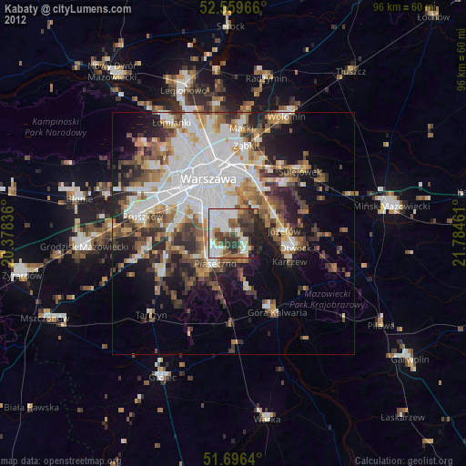
» Earth at Night: Flat Maps 2012, 2016