Turek night lights from space
Night Light of Turek (Greater Poland) from space (Poland) Src. Average luminocity for 10x10km area is 16.803% and for 50x50km: 3.3662%.
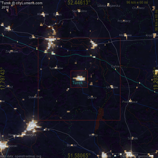
Analysis of Turek night lights 2016
Square area 10x10 km:
 3.28%
3.28%90-99
3.03%80-89
2.27%70-79
1.52%60-69
1.77%50-59
1.77%40-49
0.38%30-39
0.76%20-29
0.38%10-19
14.39%0-9
70.45%Square area 50x50 km:
0.56%90-99
0.59%80-89
0.29%70-79
0.36%60-69
0.25%50-59
0.51%40-49
0.42%30-39
0.3%20-29
0.58%10-19
2.37%0-9
93.77%Clear (daylight) street map image can be seen on geolist.org.
Map coordinates:
52° 26' 46.1" North, 17° 47' 50.7" East
52° 0' 55.7" North, 18° 30' 2" East
51° 34' 50.3" North, 19° 12' 13.2" East
Some cities around Turek sort by population:
• Kalisz
39.9 km =24.8 mi,  224°
224°
• Konin
28.7 km =17.8 mi,  323°
323°
• Sieradz
49.3 km =30.6 mi,  161°
161°
• Koło
22.6 km =14 mi,  24°
24°
• Pleszew
50.8 km =31.6 mi,  254°
254°
• Łęczyca
48.1 km =29.9 mi,  84°
84°
• Poddębice
34.1 km =21.2 mi,  113°
113°
• Kłodawa
38.7 km =24 mi,  46°
46°
3082998 (p: 29,533)
Sources (retrieved 2019-11-25):
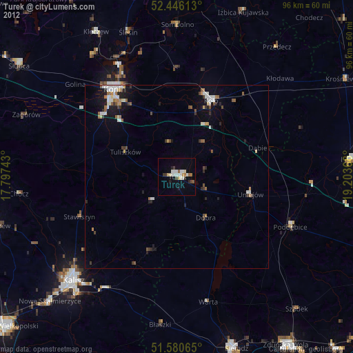
» Earth at Night: Flat Maps 2012, 2016