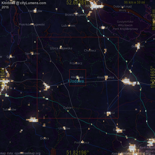
Kłodawa night lights from space
Night Light of Kłodawa (Greater Poland) from space (Poland) Src. Average luminocity for 10x10km area is 2.8598% and for 50x50km: 1.4474%.
Analysis of Kłodawa night lights 2016
Square area 10x10 km:
 0%
0%90-99
0%80-89
1.06%70-79
0.53%60-69
0.26%50-59
1.19%40-49
0.66%30-39
0%20-29
0%10-19
0.53%0-9
95.77%Square area 50x50 km:
0.17%90-99
0.18%80-89
0.16%70-79
0.26%60-69
0.23%50-59
0.2%40-49
0.2%30-39
0.15%20-29
0.16%10-19
0.33%0-9
97.96%Clear (daylight) street map image can be seen on geolist.org.
Map coordinates:
52° 40' 58.1" North, 18° 12' 37.4" East
52° 15' 16.1" North, 18° 54' 48.7" East
51° 49' 19.1" North, 19° 36' 59.9" East
Some cities around Kłodawa sort by population:
• Kutno
30.8 km =19.1 mi,  94°
94°
• Turek
38.7 km =24 mi,  226°
226°
• Koło
19.7 km =12.2 mi,  252°
252°
• Ozorków
41.4 km =25.7 mi,  141°
141°
• Gostynin
42 km =26.1 mi,  62°
62°
• Łęczyca
29.2 km =18.1 mi, 137°
• Poddębice
40.3 km =25 mi,  175°
175°
• Piotrków Kujawski
43.3 km =26.9 mi,  319°
319°
3096079 (p: 6,714)
Sources (retrieved 2019-11-25):
» Earth at Night: Flat Maps 2012, 2016