Kalisz night lights from space
Night Light of Kalisz (Greater Poland) from space (Poland) Src. Average luminocity for 10x10km area is 46.1008% and for 50x50km: 5.0018%.
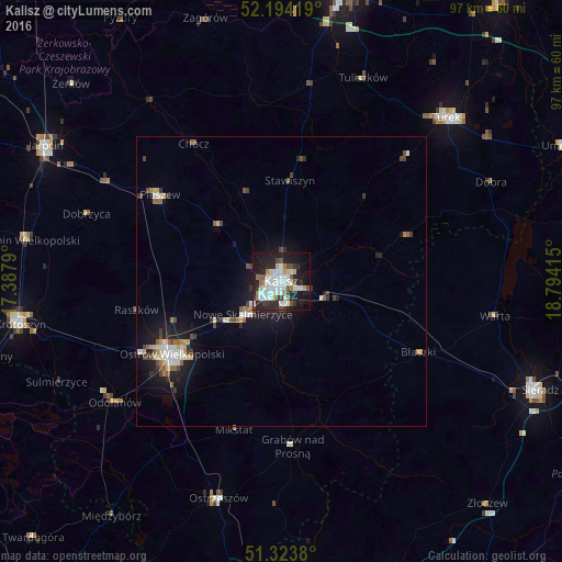
Analysis of Kalisz night lights 2016
Square area 10x10 km:
 13.45%
90-99
12.18%80-89
2.66%70-79
2.1%60-69
4.76%50-59
3.64%40-49
3.78%30-39
4.62%20-29
17.37%10-19
27.17%0-9
8.26%Square area 50x50 km:
0.95%90-99
0.92%80-89
0.31%70-79
0.38%60-69
0.48%50-59
0.64%40-49
0.6%30-39
0.69%20-29
1.34%10-19
4.29%0-9
89.41%Clear (daylight) street map image can be seen on geolist.org.
Map coordinates:
52° 11' 39.1" North, 17° 23' 16.4" East
51° 45' 39.9" North, 18° 5' 27.7" East
51° 19' 25.7" North, 18° 47' 38.9" East
Some cities around Kalisz sort by population:
• Ostrów Wielkopolski
22.9 km =14.2 mi,  238°
238°
• Sieradz
47.7 km =29.6 mi,  112°
112°
• Turek
39.9 km =24.8 mi,  44°
44°
• Krotoszyn
45.5 km =28.3 mi,  261°
261°
• Jarocin
46.8 km =29.1 mi,  300°
300°
• Pleszew
25.8 km =16 mi,  305°
305°
• Ostrzeszów
38.8 km =24.1 mi,  196°
196°
• Koźmin Wielkopolski
44.4 km =27.6 mi,  279°
279°
3096880 (p: 108,759)
Sources (retrieved 2019-11-25):
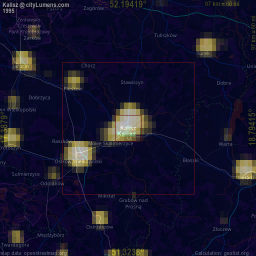
» NASA, Earths city lights 1995
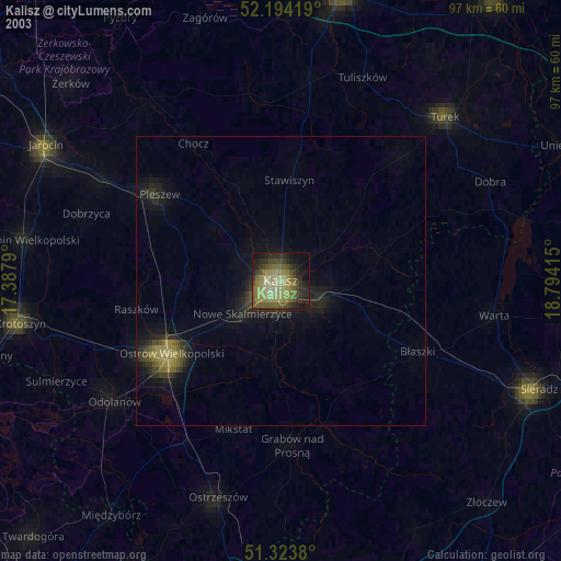
» NASA city lights 2003
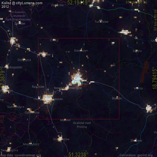
» Earth at Night: Flat Maps 2012, 2016