Koło night lights from space
Night Light of Koło (Greater Poland) from space (Poland) Src. Average luminocity for 10x10km area is 13.4788% and for 50x50km: 2.5371%.
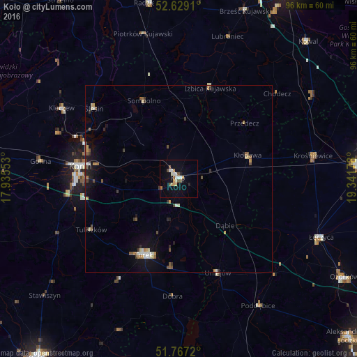
Analysis of Koło night lights 2016
Square area 10x10 km:
 2.38%
2.38%90-99
2.25%80-89
0.66%70-79
2.25%60-69
0.93%50-59
1.98%40-49
1.98%30-39
0%20-29
1.46%10-19
6.61%0-9
79.5%Square area 50x50 km:
0.3%90-99
0.31%80-89
0.28%70-79
0.37%60-69
0.22%50-59
0.45%40-49
0.32%30-39
0.29%20-29
0.29%10-19
1.68%0-9
95.49%Clear (daylight) street map image can be seen on geolist.org.
Map coordinates:
52° 37' 44.8" North, 17° 56' 7.9" East
52° 12' 0.9" North, 18° 38' 19.1" East
51° 46' 1.9" North, 19° 20' 30.4" East
Some cities around Koło sort by population:
• Konin
26.5 km =16.5 mi,  275°
275°
• Kutno
49.5 km =30.8 mi,  86°
86°
• Turek
22.6 km =14 mi,  204°
204°
• Łęczyca
41.4 km =25.7 mi,  112°
112°
• Poddębice
40.5 km =25.2 mi,  147°
147°
• Kłodawa
19.7 km =12.2 mi,  72°
72°
• Radziejów
47.8 km =29.7 mi,  350°
350°
• Piotrków Kujawski
40.1 km =24.9 mi, 346°
3095797 (p: 23,493)
Sources (retrieved 2019-11-25):
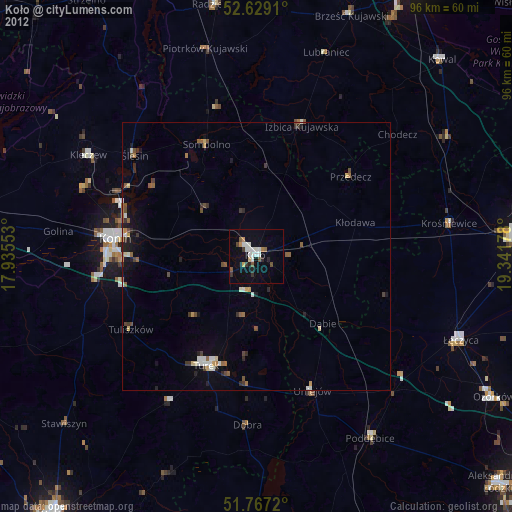
» Earth at Night: Flat Maps 2012, 2016