Sieradz night lights from space
Night Light of Sieradz (Łódź Voivodeship) from space (Poland) Src. Average luminocity for 10x10km area is 18.9131% and for 50x50km: 2.2499%.
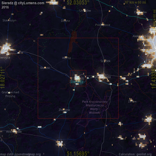
Analysis of Sieradz night lights 2016
Square area 10x10 km:
 3.61%
3.61%90-99
4.01%80-89
2.01%70-79
1.6%60-69
1.6%50-59
1.6%40-49
2.81%30-39
0.4%20-29
0%10-19
20.72%0-9
61.63%Square area 50x50 km:
0.37%90-99
0.52%80-89
0.18%70-79
0.23%60-69
0.18%50-59
0.18%40-49
0.26%30-39
0.21%20-29
0.05%10-19
2.01%0-9
95.82%Clear (daylight) street map image can be seen on geolist.org.
Map coordinates:
52° 1' 49.9" North, 18° 1' 37.6" East
51° 35' 45" North, 18° 43' 48.8" East
51° 9' 25" North, 19° 26' 0.1" East
Some cities around Sieradz sort by population:
• Pabianice
43.8 km =27.2 mi,  79°
79°
• Zduńska Wola
14.5 km =9 mi,  88°
88°
• Wieluń
43.1 km =26.8 mi,  194°
194°
• Aleksandrów Łódzki
46.7 km =29 mi,  57°
57°
• Łask
27.8 km =17.3 mi, 91°
• Konstantynów Łódzki
44.4 km =27.6 mi,  67°
67°
• Zelów
36.9 km =22.9 mi,  113°
113°
• Poddębice
36.6 km =22.7 mi,  25°
25°
3085978 (p: 44,436)
Sources (retrieved 2019-11-25):
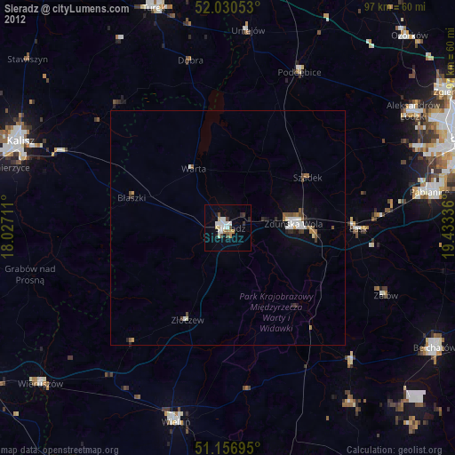
» Earth at Night: Flat Maps 2012, 2016