Rejon placu Grunwaldzkiego night lights from space
Night Light of Rejon placu Grunwaldzkiego (Lower Silesia) from space (Poland) Src. Average luminocity for 10x10km area is 86.0027% and for 50x50km: 16.5536%.
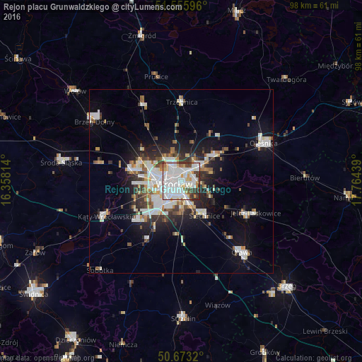
Analysis of Rejon placu Grunwaldzkiego night lights 2016
Square area 10x10 km:
 40.78%
90-99
28.61%80-89
5.35%70-79
6.02%60-69
2.94%50-59
1.6%40-49
5.48%30-39
7.89%20-29
1.34%10-19
0%0-9
0%Square area 50x50 km:
4.27%90-99
3.94%80-89
1.17%70-79
1.27%60-69
1.42%50-59
1.59%40-49
1.73%30-39
2.13%20-29
3.71%10-19
7.97%0-9
70.81%Clear (daylight) street map image can be seen on geolist.org.
Map coordinates:
51° 33' 21.5" North, 16° 21' 29.3" East
51° 7' 0.1" North, 17° 3' 40.5" East
50° 40' 23.5" North, 17° 45' 51.8" East
Some cities around Rejon placu Grunwaldzkiego sort by population:
• Wrocław
2.7 km =1.7 mi,  226°
226°
• Różanka-Polanka
4.1 km =2.5 mi,  315°
315°
• Karłowice
2.8 km =1.7 mi,  346°
346°
• Powstańców Śląskich Zachód-Centrum Południow
3.8 km =2.4 mi, 232°
• Powstańców Śląskich Wschód
3.8 km =2.4 mi,  222°
222°
• Biskupin
3.5 km =2.2 mi,  120°
120°
• Sępolno
2.9 km =1.8 mi,  104°
104°
• Osiedle Henrykowskie
3 km =1.9 mi,  191°
191°
12047623 (p: 27,030)
Sources (retrieved 2019-11-25):
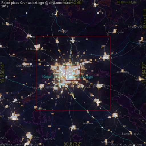
» Earth at Night: Flat Maps 2012, 2016