Biskupin night lights from space
Night Light of Biskupin (Lower Silesia) from space (Poland) Src. Average luminocity for 10x10km area is 67.4826% and for 50x50km: 16.1488%.
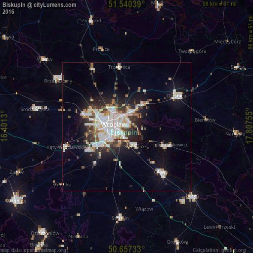
Analysis of Biskupin night lights 2016
Square area 10x10 km:
 22.33%
90-99
22.06%80-89
6.82%70-79
4.95%60-69
3.48%50-59
3.34%40-49
5.88%30-39
8.96%20-29
14.17%10-19
8.02%0-9
0%Square area 50x50 km:
4.17%90-99
3.81%80-89
1.17%70-79
1.18%60-69
1.39%50-59
1.52%40-49
1.72%30-39
2.1%20-29
3.67%10-19
7.97%0-9
71.3%Clear (daylight) street map image can be seen on geolist.org.
Map coordinates:
51° 32' 25.4" North, 16° 24' 4.7" East
51° 6' 3.5" North, 17° 6' 15.9" East
50° 39' 26.4" North, 17° 48' 27.2" East
Some cities around Biskupin sort by population:
• Wrocław
5 km =3.1 mi,  268°
268°
• Rejon placu Świętego Macieja
5.1 km =3.2 mi,  295°
295°
• Rejon placu Grunwaldzkiego
3.5 km =2.2 mi, 300°
• Rejon ulicy Traugutta
3.9 km =2.4 mi, 272°
• Zgorzelisko
4.6 km =2.9 mi,  26°
26°
• Sępolno
1 km =0.6 mi,  350°
350°
• Księże Małe-Księże Wielkie
3.3 km =2.1 mi,  199°
199°
• Osiedle Henrykowskie
3.8 km =2.4 mi,  251°
251°
12047631 (p: 11,292)
Sources (retrieved 2019-11-25):
» Earth at Night: Flat Maps 2012, 2016