Mława night lights from space
Night Light of Mława (Mazovia) from space (Poland) Src. Average luminocity for 10x10km area is 16.2341% and for 50x50km: 1.528%.
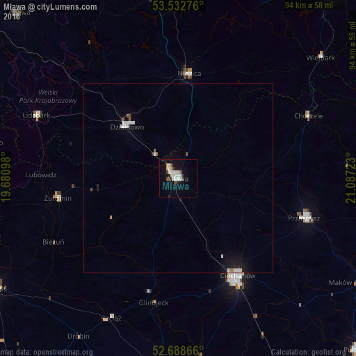
Analysis of Mława night lights 2016
Square area 10x10 km:
 3.04%
3.04%90-99
4.63%80-89
1.85%70-79
0.79%60-69
0.79%50-59
0.53%40-49
2.25%30-39
0.93%20-29
1.59%10-19
13.36%0-9
70.24%Square area 50x50 km:
0.3%90-99
0.39%80-89
0.11%70-79
0.05%60-69
0.1%50-59
0.12%40-49
0.13%30-39
0.06%20-29
0.13%10-19
1.24%0-9
97.39%Clear (daylight) street map image can be seen on geolist.org.
Map coordinates:
53° 31' 57.9" North, 19° 40' 51.5" East
53° 6' 46" North, 20° 23' 2.8" East
52° 41' 19.2" North, 21° 5' 14" East
Some cities around Mława sort by population:
• Ciechanów
30.2 km =18.8 mi,  148°
148°
• Płońsk
54.4 km =33.8 mi,  180°
180°
• Działdowo
20.1 km =12.5 mi,  314°
314°
• Przasnysz
34.8 km =21.6 mi,  107°
107°
• Nidzica
27.7 km =17.2 mi,  5°
5°
• Żuromin
32.2 km =20 mi,  260°
260°
• Lidzbark
40.7 km =25.3 mi,  294°
294°
• Olsztynek
52.8 km =32.8 mi,  352°
352°
764634 (p: 29,398)
Sources (retrieved 2019-11-25):
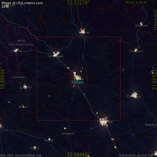
» Earth at Night: Flat Maps 2012, 2016