Ciechanów night lights from space
Night Light of Ciechanów (Mazovia) from space (Poland) Src. Average luminocity for 10x10km area is 24.7109% and for 50x50km: 1.8913%.
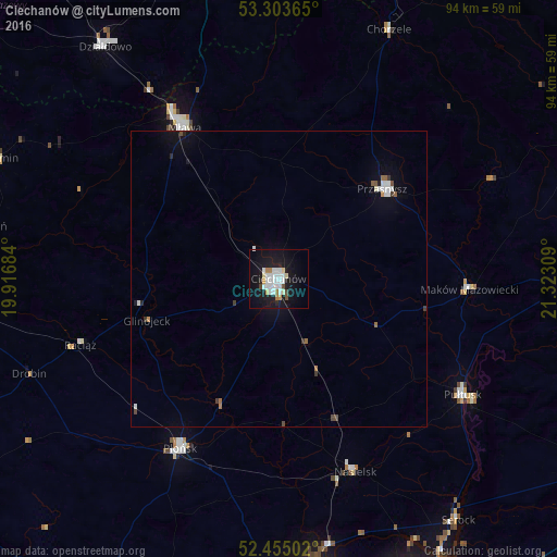
Analysis of Ciechanów night lights 2016
Square area 10x10 km:
 6.82%
6.82%90-99
6.31%80-89
2.27%70-79
1.01%60-69
2.02%50-59
0.25%40-49
1.77%30-39
0%20-29
1.77%10-19
32.7%0-9
45.08%Square area 50x50 km:
0.41%90-99
0.39%80-89
0.11%70-79
0.08%60-69
0.19%50-59
0.13%40-49
0.17%30-39
0.17%20-29
0.14%10-19
1.69%0-9
96.53%Clear (daylight) street map image can be seen on geolist.org.
Map coordinates:
53° 18' 13.1" North, 19° 55' 0.6" East
52° 52' 53.1" North, 20° 37' 11.9" East
52° 27' 18.1" North, 21° 19' 23.1" East
Some cities around Ciechanów sort by population:
• Mława
30.2 km =18.8 mi,  328°
328°
• Nowy Dwór Mazowiecki
50.6 km =31.4 mi,  172°
172°
• Płońsk
33.1 km =20.6 mi,  209°
209°
• Działdowo
49.9 km =31 mi,  322°
322°
• Pułtusk
36.9 km =22.9 mi,  122°
122°
• Przasnysz
23.2 km =14.4 mi,  48°
48°
• Maków Mazowiecki
32.3 km =20.1 mi,  93°
93°
• Nasielsk
34.8 km =21.6 mi,  158°
158°
774208 (p: 46,438)
Sources (retrieved 2019-11-25):
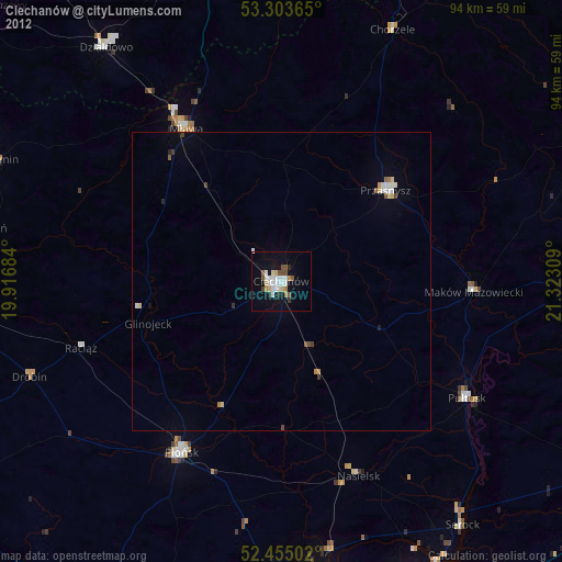
» Earth at Night: Flat Maps 2012, 2016