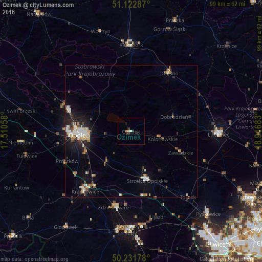
Ozimek night lights from space
Night Light of Ozimek (Opole Voivodeship) from space (Poland) Src. Average luminocity for 10x10km area is 3.3088% and for 50x50km: 4.9301%.
Analysis of Ozimek night lights 2016
Square area 10x10 km:
 0%
0%90-99
1.07%80-89
0%70-79
0%60-69
1.07%50-59
0%40-49
0.67%30-39
1.47%20-29
0.53%10-19
1.6%0-9
93.58%Square area 50x50 km:
0.74%90-99
1.06%80-89
0.34%70-79
0.53%60-69
0.69%50-59
0.38%40-49
0.64%30-39
0.51%20-29
1.35%10-19
3.27%0-9
90.49%Clear (daylight) street map image can be seen on geolist.org.
Map coordinates:
51° 7' 22.3" North, 17° 30' 38.1" East
50° 40' 46" North, 18° 12' 49.3" East
50° 13' 54.4" North, 18° 55' 0.6" East
Some cities around Ozimek sort by population:
• Opole
20.3 km =12.6 mi,  267°
267°
• Kluczbork
32.6 km =20.3 mi,  0°
0°
• Strzelce Opolskie
19.7 km =12.2 mi,  161°
161°
• Krapkowice
28.7 km =17.8 mi,  217°
217°
• Zdzieszowice
29 km =18 mi,  192°
192°
• Olesno
26.4 km =16.4 mi,  33°
33°
• Zawadzkie
20.8 km =12.9 mi,  113°
113°
• Gogolin
24.9 km =15.5 mi,  213°
213°
3089583 (p: 9,963)
Sources (retrieved 2019-11-25):
» Earth at Night: Flat Maps 2012, 2016