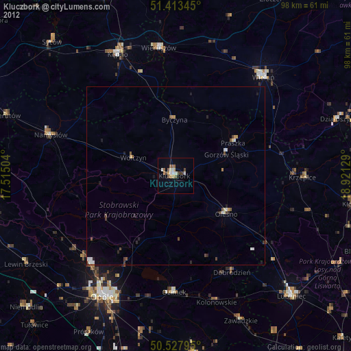
Kluczbork night lights from space
Night Light of Kluczbork (Opole Voivodeship) from space (Poland) Src. Average luminocity for 10x10km area is 9.1639% and for 50x50km: 0.9933%.
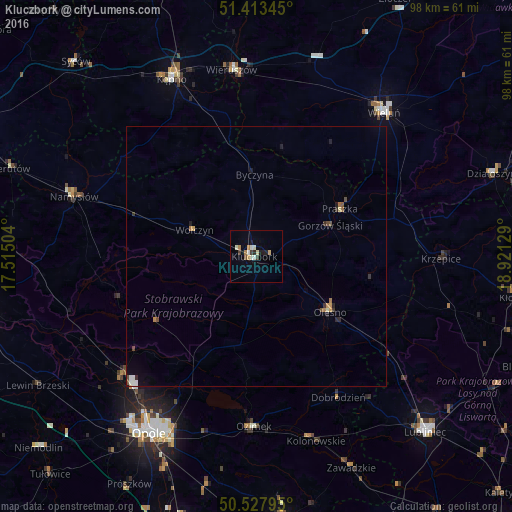
Analysis of Kluczbork night lights 2016
Square area 10x10 km:
 0.84%
0.84%90-99
2.38%80-89
1.26%70-79
0.7%60-69
1.54%50-59
0.28%40-49
0.84%30-39
1.12%20-29
1.54%10-19
1.96%0-9
87.54%Square area 50x50 km:
0.1%90-99
0.18%80-89
0.08%70-79
0.12%60-69
0.17%50-59
0.11%40-49
0.13%30-39
0.16%20-29
0.23%10-19
0.18%0-9
98.54%Clear (daylight) street map image can be seen on geolist.org.
Map coordinates:
51° 24' 48.4" North, 17° 30' 54.1" East
50° 58' 22.1" North, 18° 13' 5.4" East
50° 31' 40.6" North, 18° 55' 16.6" East
Some cities around Kluczbork sort by population:
• Wieluń
36.9 km =22.9 mi,  41°
41°
• Namysłów
36.5 km =22.7 mi,  288°
288°
• Kępno
37.6 km =23.4 mi,  334°
334°
• Olesno
17.8 km =11.1 mi,  126°
126°
• Ozimek
32.6 km =20.3 mi,  180°
180°
• Wieruszów
36.1 km =22.4 mi,  353°
353°
• Praszka
18.7 km =11.6 mi,  61°
61°
• Wołczyn
12.8 km =8 mi, 293°
3096003 (p: 25,978)
Sources (retrieved 2019-11-25):
» Earth at Night: Flat Maps 2012, 2016