Strzelce Opolskie night lights from space
Night Light of Strzelce Opolskie (Opole Voivodeship) from space (Poland) Src. Average luminocity for 10x10km area is 10.7647% and for 50x50km: 6.9348%.
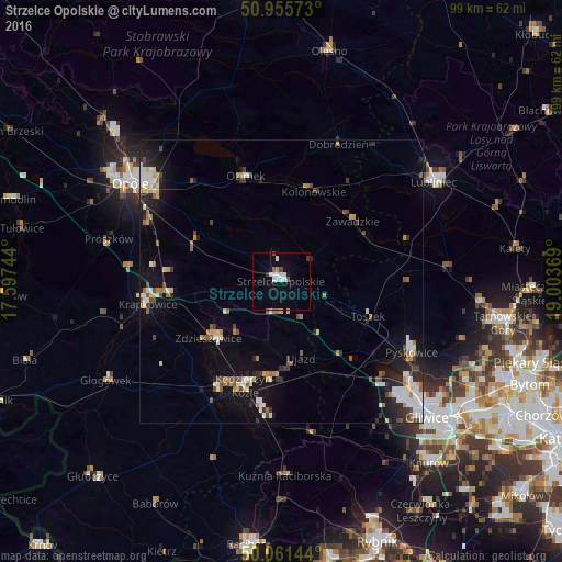
Analysis of Strzelce Opolskie night lights 2016
Square area 10x10 km:
 2.24%
2.24%90-99
3.36%80-89
0%70-79
0.56%60-69
0%50-59
0.84%40-49
1.12%30-39
1.12%20-29
0.14%10-19
2.66%0-9
87.96%Square area 50x50 km:
0.98%90-99
1.55%80-89
0.54%70-79
0.55%60-69
0.81%50-59
0.81%40-49
0.91%30-39
0.76%20-29
1.59%10-19
4.66%0-9
86.83%Clear (daylight) street map image can be seen on geolist.org.
Map coordinates:
50° 57' 20.6" North, 17° 35' 50.8" East
50° 30' 38.5" North, 18° 18' 2" East
50° 3' 41.2" North, 19° 0' 13.3" East
Some cities around Strzelce Opolskie sort by population:
• Kędzierzyn-Koźle
18.6 km =11.6 mi,  196°
196°
• Pyskowice
26.6 km =16.5 mi,  117°
117°
• Krapkowice
24 km =14.9 mi,  260°
260°
• Koźle
22.4 km =13.9 mi,  209°
209°
• Zdzieszowice
15.8 km =9.8 mi,  232°
232°
• Ozimek
19.7 km =12.2 mi,  341°
341°
• Zawadzkie
16.7 km =10.4 mi,  51°
51°
• Gogolin
20 km =12.4 mi, 264°
3084415 (p: 20,241)
Sources (retrieved 2019-11-25):
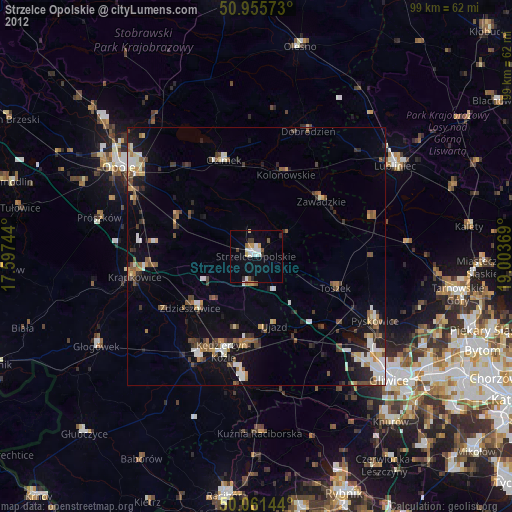
» Earth at Night: Flat Maps 2012, 2016