Mińsk Mazowiecki night lights from space
Night Light of Mińsk Mazowiecki (Mazovia) from space (Poland) Src. Average luminocity for 10x10km area is 27.9206% and for 50x50km: 7.2933%.
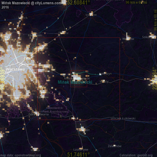
Analysis of Mińsk Mazowiecki night lights 2016
Square area 10x10 km:
 6.35%
6.35%90-99
6.88%80-89
0.79%70-79
3.44%60-69
1.98%50-59
3.04%40-49
1.72%30-39
2.51%20-29
1.46%10-19
37.04%0-9
34.79%Square area 50x50 km:
0.94%90-99
1.19%80-89
0.75%70-79
0.79%60-69
0.67%50-59
1.07%40-49
0.94%30-39
1.35%20-29
2.36%10-19
5.96%0-9
83.99%Clear (daylight) street map image can be seen on geolist.org.
Map coordinates:
52° 36' 30.3" North, 20° 52' 9.8" East
52° 10' 45.7" North, 21° 34' 21" East
51° 44' 46" North, 22° 16' 32.3" East
Some cities around Mińsk Mazowiecki sort by population:
• Wawer
27 km =16.8 mi,  274°
274°
• Otwock
22.8 km =14.2 mi,  248°
248°
• Wołomin
28.7 km =17.8 mi,  308°
308°
• Rembertów
29.3 km =18.2 mi,  287°
287°
• Wesoła
25.2 km =15.7 mi, 289°
• Sulejówek
22.2 km =13.8 mi, 291°
• Józefów
23.4 km =14.5 mi,  258°
258°
• Karczew
24.8 km =15.4 mi,  242°
242°
764679 (p: 37,027)
Sources (retrieved 2019-11-25):
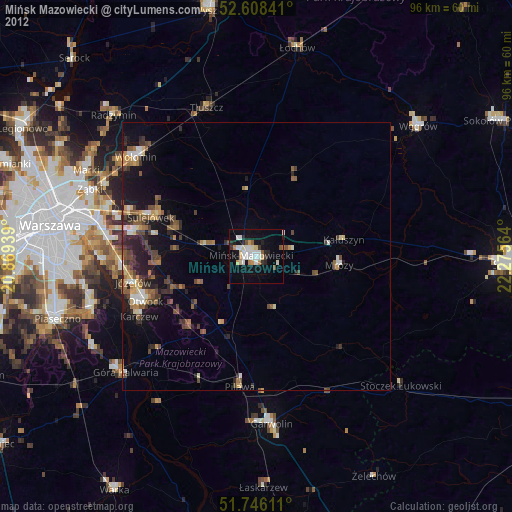
» Earth at Night: Flat Maps 2012, 2016