Lewin Brzeski night lights from space
Night Light of Lewin Brzeski (Opole Voivodeship) from space (Poland) Src. Average luminocity for 10x10km area is 0.5067% and for 50x50km: 4.6755%.
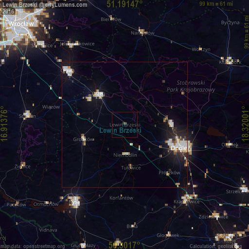
Analysis of Lewin Brzeski night lights 2016
Square area 10x10 km:
 0%
0%90-99
0%80-89
0%70-79
0%60-69
0%50-59
0%40-49
0.53%30-39
0%20-29
0.53%10-19
0.53%0-9
98.4%Square area 50x50 km:
0.94%90-99
0.94%80-89
0.32%70-79
0.39%60-69
0.5%50-59
0.35%40-49
0.51%30-39
0.39%20-29
1.28%10-19
3.36%0-9
91.02%Clear (daylight) street map image can be seen on geolist.org.
Map coordinates:
51° 11' 29.3" North, 16° 54' 49.5" East
50° 44' 55.3" North, 17° 37' 0.8" East
50° 18' 6.1" North, 18° 19' 12" East
Some cities around Lewin Brzeski sort by population:
• Opole
23.3 km =14.5 mi,  111°
111°
• Nysa
36.5 km =22.7 mi,  213°
213°
• Brzeg
16.3 km =10.1 mi,  319°
319°
• Oława
31.7 km =19.7 mi,  314°
314°
• Jelcz Laskowice
36.9 km =22.9 mi,  325°
325°
• Jelcz
36.7 km =22.8 mi, 325°
• Grodków
17.3 km =10.7 mi,  251°
251°
• Niemodlin
11.9 km =7.4 mi,  179°
179°
3093501 (p: 6,000)
Sources (retrieved 2019-11-25):
» Earth at Night: Flat Maps 2012, 2016