Nysa night lights from space
Night Light of Nysa (Opole Voivodeship) from space (Poland) Src. Average luminocity for 10x10km area is 22.6218% and for 50x50km: 2.0938%.
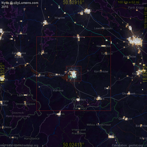
Analysis of Nysa night lights 2016
Square area 10x10 km:
 5.04%
5.04%90-99
5.6%80-89
1.68%70-79
2.24%60-69
1.12%50-59
0.84%40-49
1.26%30-39
2.66%20-29
2.52%10-19
26.75%0-9
50.28%Square area 50x50 km:
0.26%90-99
0.5%80-89
0.2%70-79
0.24%60-69
0.16%50-59
0.18%40-49
0.23%30-39
0.38%20-29
0.26%10-19
1.14%0-9
96.45%Clear (daylight) street map image can be seen on geolist.org.
Map coordinates:
50° 55' 9" North, 16° 37' 52.5" East
50° 28' 25.6" North, 17° 20' 3.7" East
50° 1' 27" North, 18° 2' 15" East
Some cities around Nysa sort by population:
• Prudnik
24 km =14.9 mi,  134°
134°
• Głuchołazy
18 km =11.2 mi,  168°
168°
• Jeseník, CZ
28.7 km =17.8 mi,  198°
198°
• Ziębice
25.1 km =15.6 mi,  304°
304°
• Grodków
25.2 km =15.7 mi,  8°
8°
• Paczków
23.2 km =14.4 mi,  267°
267°
• Niemodlin
27.5 km =17.1 mi,  47°
47°
• Otmuchów
11.4 km =7.1 mi, 265°
3090436 (p: 47,283)
Sources (retrieved 2019-11-25):
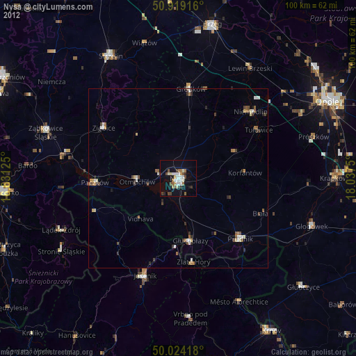
» Earth at Night: Flat Maps 2012, 2016