Oława night lights from space
Night Light of Oława (Lower Silesia) from space (Poland) Src. Average luminocity for 10x10km area is 18.2129% and for 50x50km: 11.5834%.
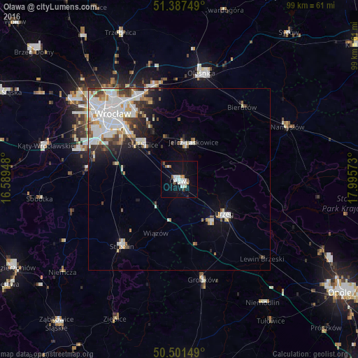
Analysis of Oława night lights 2016
Square area 10x10 km:
 4.9%
4.9%90-99
4.34%80-89
0.28%70-79
0.84%60-69
1.96%50-59
1.26%40-49
1.26%30-39
0.28%20-29
0.28%10-19
18.91%0-9
65.69%Square area 50x50 km:
3.5%90-99
3.06%80-89
0.84%70-79
0.78%60-69
0.92%50-59
0.86%40-49
1.15%30-39
1.2%20-29
1.84%10-19
4.05%0-9
81.8%Clear (daylight) street map image can be seen on geolist.org.
Map coordinates:
51° 23' 15" North, 16° 35' 22.1" East
50° 56' 47.8" North, 17° 17' 33.4" East
50° 30' 5.4" North, 17° 59' 44.6" East
Some cities around Oława sort by population:
• Brzeg
15.5 km =9.6 mi,  127°
127°
• Jelcz Laskowice
8.5 km =5.3 mi,  11°
11°
• Jelcz
8.5 km =5.3 mi, 13°
• Biskupin
21.6 km =13.4 mi,  322°
322°
• Sępolno
22.5 km =14 mi, 323°
• Księże Małe-Księże Wielkie
20 km =12.4 mi,  314°
314°
• Osiedle Henrykowskie
23.1 km =14.4 mi, 313°
• Wojszyce
21.3 km =13.2 mi, 305°
3090205 (p: 30,898)
Sources (retrieved 2019-11-25):
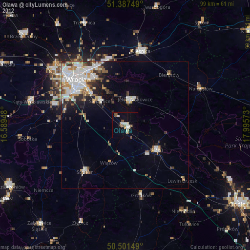
» Earth at Night: Flat Maps 2012, 2016