Brzeg night lights from space
Night Light of Brzeg (Opole Voivodeship) from space (Poland) Src. Average luminocity for 10x10km area is 17.8347% and for 50x50km: 3.4491%.
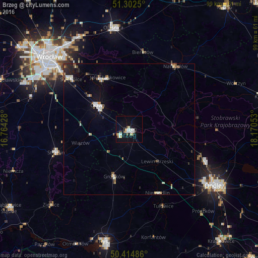
Analysis of Brzeg night lights 2016
Square area 10x10 km:
 4.76%
4.76%90-99
2.52%80-89
2.66%70-79
1.82%60-69
1.12%50-59
1.12%40-49
1.12%30-39
0%20-29
1.54%10-19
14.71%0-9
68.63%Square area 50x50 km:
0.55%90-99
0.7%80-89
0.3%70-79
0.27%60-69
0.27%50-59
0.39%40-49
0.29%30-39
0.34%20-29
0.59%10-19
2.36%0-9
93.96%Clear (daylight) street map image can be seen on geolist.org.
Map coordinates:
51° 18' 9" North, 16° 45' 51.4" East
50° 51' 38.8" North, 17° 28' 2.6" East
50° 24' 53.5" North, 18° 10' 13.9" East
Some cities around Brzeg sort by population:
• Oława
15.5 km =9.6 mi,  307°
307°
• Jelcz Laskowice
20.7 km =12.9 mi,  329°
329°
• Jelcz
20.6 km =12.8 mi, 330°
• Strzelin
29.6 km =18.4 mi,  252°
252°
• Grodków
19 km =11.8 mi,  197°
197°
• Niemodlin
26.6 km =16.5 mi,  156°
156°
• Lewin Brzeski
16.3 km =10.1 mi,  139°
139°
• Bierutów
29.8 km =18.5 mi,  10°
10°
3102459 (p: 38,259)
Sources (retrieved 2019-11-25):
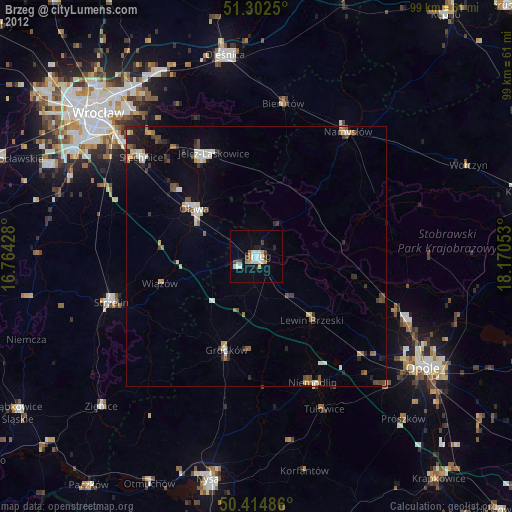
» Earth at Night: Flat Maps 2012, 2016