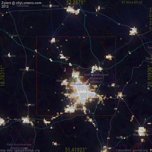
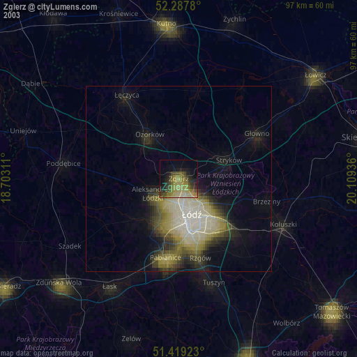
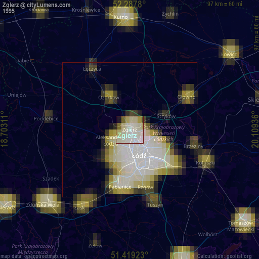
Zgierz night lights from space
Night Light of Zgierz (Łódź Voivodeship) from space (Poland) Src. Average luminocity for 10x10km area is 45.9482% and for 50x50km: 15.8424%.

Analysis of Zgierz night lights 2016
Square area 10x10 km:
 9.47%
9.47%90-99
12.12%80-89
2.4%70-79
4.17%60-69
5.18%50-59
7.07%40-49
6.82%30-39
6.69%20-29
13.51%10-19
22.73%0-9
9.85%Square area 50x50 km:
4.75%90-99
3.32%80-89
1.02%70-79
1.26%60-69
1.62%50-59
1.59%40-49
1.58%30-39
2.06%20-29
3.42%10-19
7.8%0-9
71.56%Clear (daylight) street map image can be seen on geolist.org.
Map coordinates:
52° 17' 16.1" North, 18° 42' 11.2" East
51° 51' 20.2" North, 19° 24' 22.4" East
51° 25' 9.2" North, 20° 6' 33.7" East
Some cities around Zgierz sort by population:
• Łódź
10.5 km =6.5 mi,  153°
153°
• Pabianice
21.5 km =13.4 mi,  189°
189°
• Ozorków
14.3 km =8.9 mi,  326°
326°
• Aleksandrów Łódzki
8.1 km =5 mi,  240°
240°
• Konstantynów Łódzki
13.2 km =8.2 mi,  204°
204°
• Głowno
24.4 km =15.2 mi,  60°
60°
• Brzeziny
24.5 km =15.2 mi,  104°
104°
• Ksawerów
19.2 km =11.9 mi,  180°
180°
3080251 (p: 58,036)
Sources (retrieved 2019-11-25):
» NASA, Earths city lights 1995
» NASA city lights 2003
» Earth at Night: Flat Maps 2012, 2016