Krasnystaw night lights from space
Night Light of Krasnystaw (Lublin) from space (Poland) Src. Average luminocity for 10x10km area is 9.369% and for 50x50km: 1.6346%.
Analysis of Krasnystaw night lights 2016
Square area 10x10 km:
 0.53%
0.53%90-99
0.67%80-89
1.6%70-79
0.4%60-69
3.48%50-59
1.87%40-49
1.6%30-39
1.34%20-29
0.27%10-19
1.2%0-9
87.03%Square area 50x50 km:
0.11%90-99
0.13%80-89
0.37%70-79
0.29%60-69
0.19%50-59
0.17%40-49
0.17%30-39
0.08%20-29
0.33%10-19
1.31%0-9
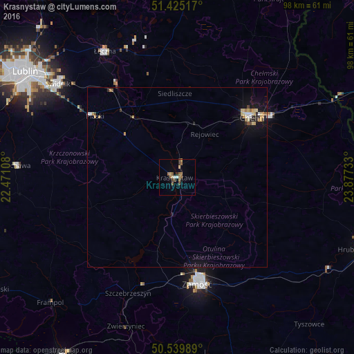
96.87%Clear (daylight) street map image can be seen on geolist.org.
Map coordinates:
51° 25' 30.6" North, 22° 28' 15.9" East
50° 59' 4.7" North, 23° 10' 27.1" East
50° 32' 23.6" North, 23° 52' 38.4" East
Some cities around Krasnystaw sort by population:
• Lublin
51.7 km =32.1 mi,  304°
304°
• Chełm
27.2 km =16.9 mi,  49°
49°
• Zamość
29.6 km =18.4 mi,  169°
169°
• Świdnik
42.3 km =26.3 mi,  307°
307°
• Łęczna
40.7 km =25.3 mi,  329°
329°
• Bychawa
45 km =28 mi,  274°
274°
• Szczebrzeszyn
35 km =21.7 mi,  202°
202°
• Ludwin
44.3 km =27.5 mi,  335°
335°
767605 (p: 19,532)
Sources (retrieved 2019-11-25):
» Earth at Night: Flat Maps 2012, 2016