Lublin night lights from space
Night Light of Lublin from space (Poland) Src. Average luminocity for 10x10km area is 85.1387% and for 50x50km: 9.9538%.
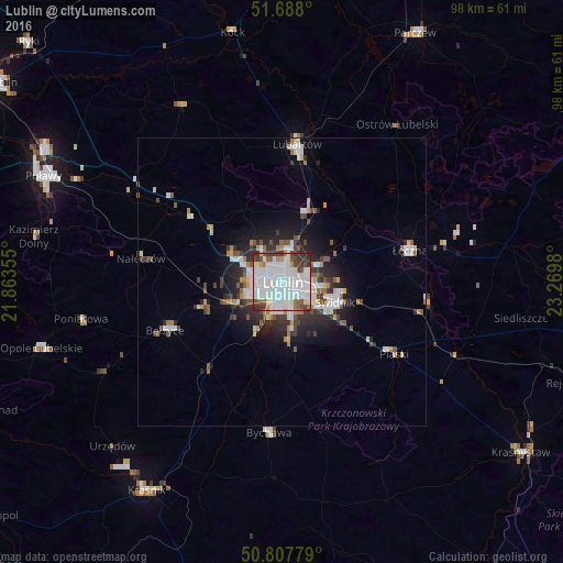
Analysis of Lublin night lights 2016
Square area 10x10 km:
 47.48%
90-99
22.83%80-89
3.08%70-79
2.24%60-69
3.78%50-59
4.62%40-49
6.3%30-39
7.84%20-29
1.82%10-19
0%0-9
0%Square area 50x50 km:
2.8%90-99
1.95%80-89
0.61%70-79
0.68%60-69
0.9%50-59
1.11%40-49
1.15%30-39
1.6%20-29
2.43%10-19
4.42%0-9
82.35%Clear (daylight) street map image can be seen on geolist.org.
Map coordinates:
51° 41' 16.8" North, 21° 51' 48.8" East
51° 15' 0" North, 22° 34' 0" East
50° 48' 28" North, 23° 16' 11.3" East
Some cities around Lublin sort by population:
• Świdnik
9.7 km =6 mi,  110°
110°
• Lubartów
23.6 km =14.7 mi,  7°
7°
• Łęczna
22.6 km =14 mi,  75°
75°
• Poniatowa
31.3 km =19.4 mi,  255°
255°
• Opole Lubelskie
43.2 km =26.8 mi,  254°
254°
• Bełżyce
21.7 km =13.5 mi, 247°
• Bychawa
26.1 km =16.2 mi,  185°
185°
• Ludwin
25.9 km =16.1 mi,  65°
65°
765876 (p: 360,044)
Sources (retrieved 2019-11-25):
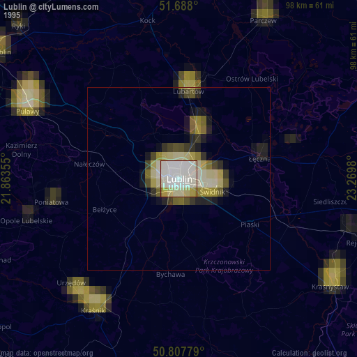
» NASA, Earths city lights 1995
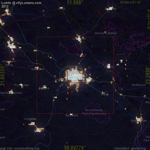
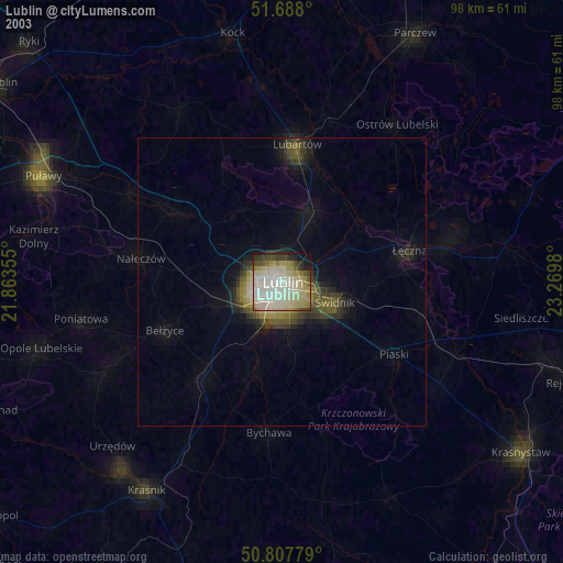
» NASA city lights 2003
» Earth at Night: Flat Maps 2012, 2016