Łęczna night lights from space
Night Light of Łęczna (Lublin) from space (Poland) Src. Average luminocity for 10x10km area is 7.5756% and for 50x50km: 7.4436%.
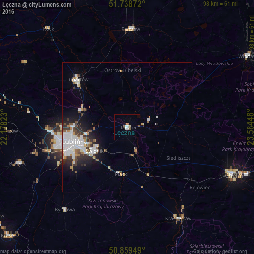
Analysis of Łęczna night lights 2016
Square area 10x10 km:
 2.1%
2.1%90-99
1.26%80-89
0.56%70-79
0.56%60-69
0.56%50-59
1.54%40-49
0.14%30-39
0%20-29
0.56%10-19
0%0-9
92.72%Square area 50x50 km:
2.22%90-99
1.59%80-89
0.41%70-79
0.57%60-69
0.61%50-59
0.72%40-49
0.74%30-39
1.09%20-29
1.68%10-19
2.97%0-9
87.4%Clear (daylight) street map image can be seen on geolist.org.
Map coordinates:
51° 44' 19.4" North, 22° 10' 41.6" East
51° 18' 4.4" North, 22° 52' 52.9" East
50° 51' 34.2" North, 23° 35' 4.1" East
Some cities around Łęczna sort by population:
• Lublin
22.6 km =14 mi,  255°
255°
• Świdnik
15.8 km =9.8 mi,  234°
234°
• Lubartów
25.9 km =16.1 mi,  313°
313°
• Krasnystaw
40.7 km =25.3 mi,  149°
149°
• Parczew
37.7 km =23.4 mi,  2°
2°
• Bełżyce
44.2 km =27.5 mi,  251°
251°
• Bychawa
39.9 km =24.8 mi,  217°
217°
• Ludwin
5.3 km =3.3 mi,  18°
18°
766583 (p: 21,719)
Sources (retrieved 2019-11-25):
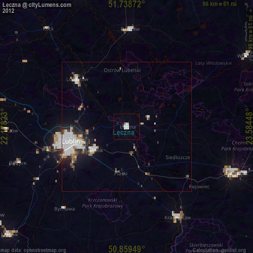
» Earth at Night: Flat Maps 2012, 2016