Świdnik night lights from space
Night Light of Świdnik (Lublin) from space (Poland) Src. Average luminocity for 10x10km area is 43.1499% and for 50x50km: 9.6938%.
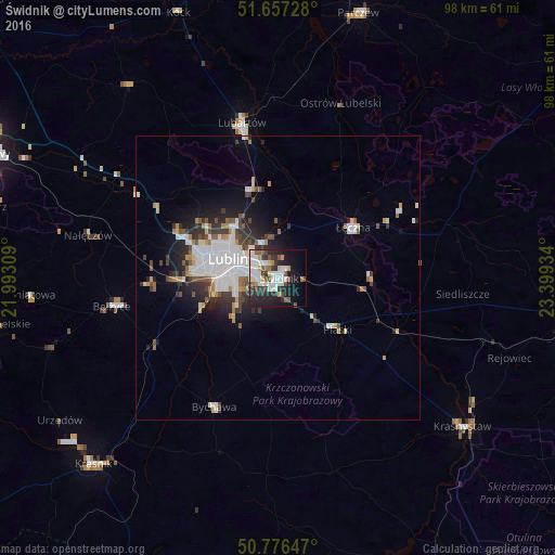
Analysis of Świdnik night lights 2016
Square area 10x10 km:
 10.78%
90-99
10.64%80-89
4.62%70-79
2.52%60-69
2.8%50-59
5.74%40-49
5.18%30-39
6.44%20-29
12.89%10-19
19.89%0-9
18.49%Square area 50x50 km:
2.78%90-99
1.85%80-89
0.57%70-79
0.77%60-69
0.8%50-59
1.06%40-49
1.08%30-39
1.59%20-29
2.43%10-19
4.39%0-9
82.68%Clear (daylight) street map image can be seen on geolist.org.
Map coordinates:
51° 39' 26.2" North, 21° 59' 35.1" East
51° 13' 8.3" North, 22° 41' 46.4" East
50° 46' 35.3" North, 23° 23' 57.6" East
Some cities around Świdnik sort by population:
• Lublin
9.7 km =6 mi,  290°
290°
• Lubartów
27.5 km =17.1 mi,  347°
347°
• Łęczna
15.8 km =9.8 mi,  54°
54°
• Krasnystaw
42.3 km =26.3 mi,  127°
127°
• Poniatowa
39.6 km =24.6 mi,  263°
263°
• Bełżyce
29.4 km =18.3 mi, 260°
• Bychawa
25.3 km =15.7 mi,  206°
206°
• Ludwin
20.3 km =12.6 mi, 45°
757692 (p: 40,050)
Sources (retrieved 2019-11-25):
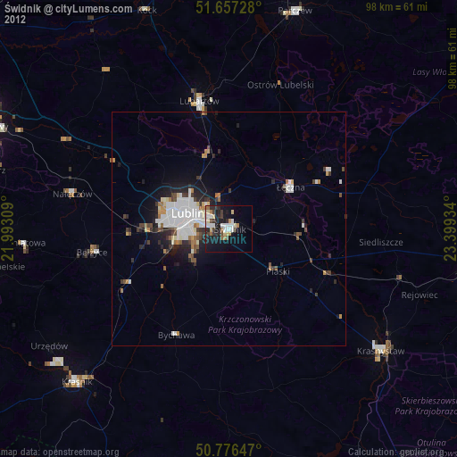
» Earth at Night: Flat Maps 2012, 2016