Zamość night lights from space
Night Light of Zamość (Lublin) from space (Poland) Src. Average luminocity for 10x10km area is 29.0361% and for 50x50km: 1.3392%.
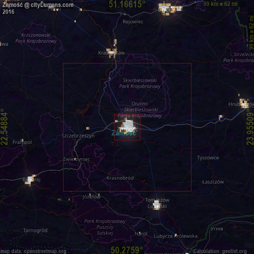
Analysis of Zamość night lights 2016
Square area 10x10 km:
 8.42%
8.42%90-99
6.82%80-89
2.27%70-79
1.87%60-69
1.2%50-59
2.41%40-49
0.4%30-39
2.14%20-29
3.34%10-19
36.63%0-9
34.49%Square area 50x50 km:
0.34%90-99
0.28%80-89
0.11%70-79
0.08%60-69
0.05%50-59
0.14%40-49
0.02%30-39
0.09%20-29
0.15%10-19
1.6%0-9
97.15%Clear (daylight) street map image can be seen on geolist.org.
Map coordinates:
51° 9' 58.1" North, 22° 32' 55.8" East
50° 43' 23.3" North, 23° 15' 7.1" East
50° 16' 33.2" North, 23° 57' 18.3" East
Some cities around Zamość sort by population:
• Chełm
49.2 km =30.6 mi,  18°
18°
• Biłgoraj
42.5 km =26.4 mi,  241°
241°
• Tomaszów Lubelski
32.7 km =20.3 mi,  159°
159°
• Krasnystaw
29.6 km =18.4 mi,  349°
349°
• Hrubieszów
46 km =28.6 mi,  78°
78°
• Janów Lubelski
59.3 km =36.8 mi,  268°
268°
• Bychawa
60.1 km =37.3 mi,  302°
302°
• Szczebrzeszyn
19.4 km =12.1 mi,  260°
260°
753866 (p: 66,034)
Sources (retrieved 2019-11-25):
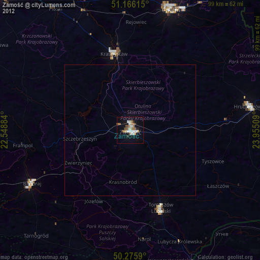
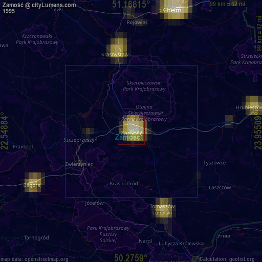
» NASA, Earths city lights 1995
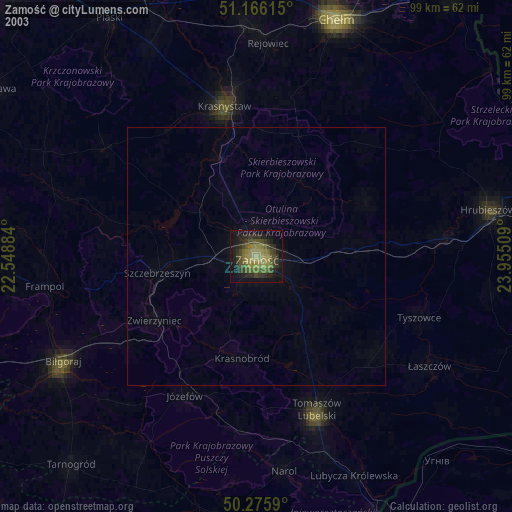
» NASA city lights 2003
» Earth at Night: Flat Maps 2012, 2016