Koszalin night lights from space
Night Light of Koszalin (West Pomerania) from space (Poland) Src. Average luminocity for 10x10km area is 41.8479% and for 50x50km: 2.5723%.
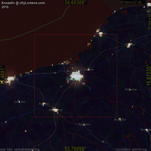
Analysis of Koszalin night lights 2016
Square area 10x10 km:
 14.29%
90-99
11.64%80-89
1.59%70-79
1.06%60-69
0.66%50-59
2.78%40-49
4.63%30-39
2.78%20-29
14.15%10-19
34.79%0-9
11.64%Square area 50x50 km:
0.6%90-99
0.53%80-89
0.08%70-79
0.16%60-69
0.14%50-59
0.26%40-49
0.36%30-39
0.3%20-29
0.72%10-19
2.05%0-9
94.8%Clear (daylight) street map image can be seen on geolist.org.
Map coordinates:
54° 36' 13.3" North, 15° 28' 8.8" East
54° 11' 39.8" North, 16° 10' 20" East
53° 46' 51.5" North, 16° 52' 31.3" East
Some cities around Koszalin sort by population:
• Kołobrzeg
38.4 km =23.9 mi,  266°
266°
• Białogard
24.1 km =15 mi,  210°
210°
• Świdwin
53.4 km =33.2 mi, 208°
• Darłowo
29.6 km =18.4 mi,  31°
31°
• Sławno
37.8 km =23.5 mi,  60°
60°
• Połczyn-Zdrój
48.1 km =29.9 mi,  185°
185°
• Sianów
8.5 km =5.3 mi,  65°
65°
• Karlino
26.1 km =16.2 mi,  227°
227°
3095049 (p: 107,450)
Sources (retrieved 2019-11-25):
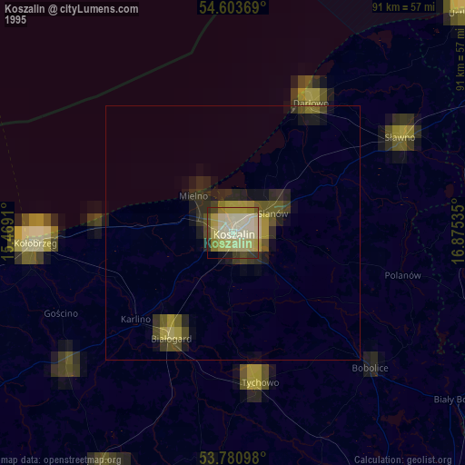
» NASA, Earths city lights 1995
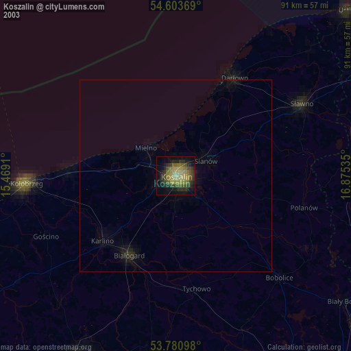
» NASA city lights 2003
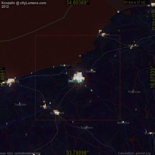
» Earth at Night: Flat Maps 2012, 2016