Sławno night lights from space
Night Light of Sławno (West Pomerania) from space (Poland) Src. Average luminocity for 10x10km area is 5.3383% and for 50x50km: 2.4742%.
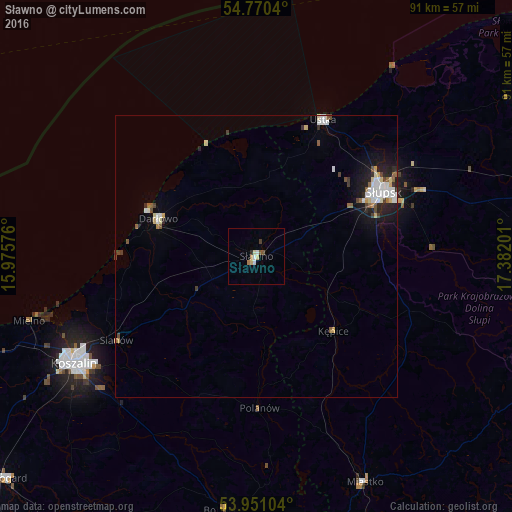
Analysis of Sławno night lights 2016
Square area 10x10 km:
 1%
1%90-99
0.75%80-89
1.25%70-79
0%60-69
1%50-59
0.88%40-49
0.25%30-39
0.38%20-29
0.5%10-19
0%0-9
93.98%Square area 50x50 km:
0.51%90-99
0.47%80-89
0.33%70-79
0.1%60-69
0.17%50-59
0.35%40-49
0.3%30-39
0.25%20-29
0.51%10-19
1.45%0-9
95.58%Clear (daylight) street map image can be seen on geolist.org.
Map coordinates:
54° 46' 13.4" North, 15° 58' 32.7" East
54° 21' 45.9" North, 16° 40' 44" East
53° 57' 3.7" North, 17° 22' 55.2" East
Some cities around Sławno sort by population:
• Koszalin
37.8 km =23.5 mi,  240°
240°
• Słupsk
25.3 km =15.7 mi,  63°
63°
• Białogard
59.9 km =37.2 mi,  228°
228°
• Bytów
57 km =35.4 mi,  112°
112°
• Ustka
26.9 km =16.7 mi,  26°
26°
• Darłowo
18.5 km =11.5 mi,  290°
290°
• Miastko
44.6 km =27.7 mi,  153°
153°
• Sianów
29.4 km =18.3 mi, 238°
3085610 (p: 13,415)
Sources (retrieved 2019-11-25):
» Earth at Night: Flat Maps 2012, 2016