Białogard night lights from space
Night Light of Białogard (West Pomerania) from space (Poland) Src. Average luminocity for 10x10km area is 6.6111% and for 50x50km: 2.3725%.
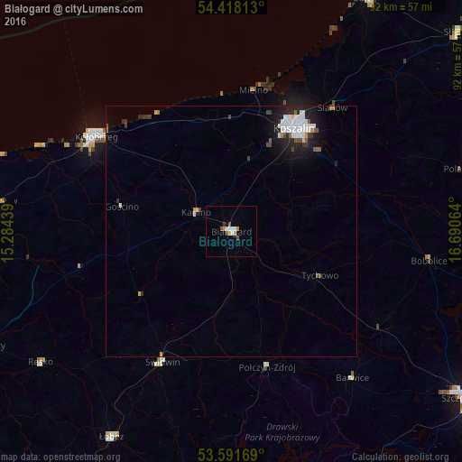
Analysis of Białogard night lights 2016
Square area 10x10 km:
 1.01%
1.01%90-99
1.52%80-89
0%70-79
1.89%60-69
0.13%50-59
1.01%40-49
1.01%30-39
0.51%20-29
0%10-19
0%0-9
92.93%Square area 50x50 km:
0.59%90-99
0.53%80-89
0.07%70-79
0.22%60-69
0.09%50-59
0.2%40-49
0.32%30-39
0.27%20-29
0.64%10-19
1.6%0-9
95.47%Clear (daylight) street map image can be seen on geolist.org.
Map coordinates:
54° 25' 5.3" North, 15° 17' 3.8" East
54° 0' 25.1" North, 15° 59' 15" East
53° 35' 30.1" North, 16° 41' 26.3" East
Some cities around Białogard sort by population:
• Koszalin
24.1 km =15 mi,  30°
30°
• Kołobrzeg
32.3 km =20.1 mi,  305°
305°
• Świdwin
29.3 km =18.2 mi,  208°
208°
• Łobez
47.4 km =29.5 mi, 210°
• Trzebiatów
47.6 km =29.6 mi,  277°
277°
• Połczyn-Zdrój
27.9 km =17.3 mi,  165°
165°
• Sianów
31.4 km =19.5 mi,  39°
39°
• Karlino
7.8 km =4.8 mi,  293°
293°
3103556 (p: 24,265)
Sources (retrieved 2019-11-25):
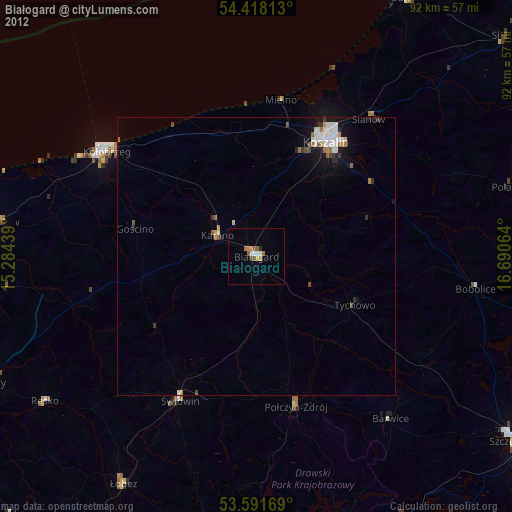
» Earth at Night: Flat Maps 2012, 2016