Darłowo night lights from space
Night Light of Darłowo (West Pomerania) from space (Poland) Src. Average luminocity for 10x10km area is 7.994% and for 50x50km: 1.5296%.
Analysis of Darłowo night lights 2016
Square area 10x10 km:
 1.2%
1.2%90-99
1.44%80-89
1.32%70-79
0.36%60-69
0.72%50-59
1.67%40-49
0.96%30-39
0.12%20-29
0.84%10-19
0.48%0-9
90.91%Square area 50x50 km:
0.27%90-99
0.29%80-89
0.14%70-79
0.02%60-69
0.14%50-59
0.17%40-49
0.15%30-39
0.2%20-29
0.52%10-19
1.04%0-9
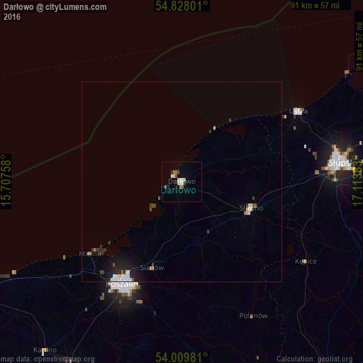
97.05%Clear (daylight) street map image can be seen on geolist.org.
Map coordinates:
54° 49' 40.8" North, 15° 42' 27.3" East
54° 25' 15.4" North, 16° 24' 38.5" East
54° 0' 35.3" North, 17° 6' 49.8" East
Some cities around Darłowo sort by population:
• Koszalin
29.6 km =18.4 mi,  211°
211°
• Słupsk
40.2 km =25 mi,  83°
83°
• Białogard
53.6 km =33.3 mi, 210°
• Ustka
34.1 km =21.2 mi,  58°
58°
• Sławno
18.5 km =11.5 mi,  110°
110°
• Miastko
59.5 km =37 mi,  141°
141°
• Sianów
23 km =14.3 mi,  199°
199°
• Karlino
55.2 km =34.3 mi,  218°
218°
3100637 (p: 14,398)
Sources (retrieved 2019-11-25):
» Earth at Night: Flat Maps 2012, 2016