Połczyn-Zdrój night lights from space
Night Light of Połczyn-Zdrój (West Pomerania) from space (Poland) Src. Average luminocity for 10x10km area is 1.3864% and for 50x50km: 0.4658%.
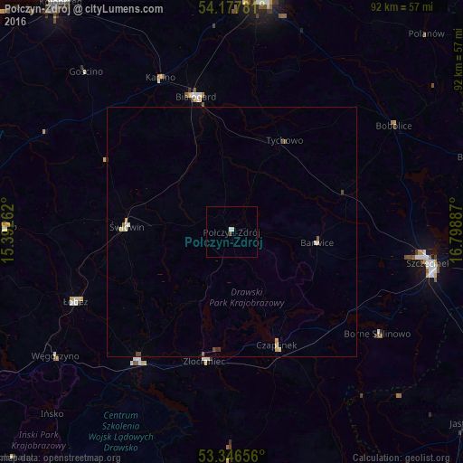
Analysis of Połczyn-Zdrój night lights 2016
Square area 10x10 km:
 0.25%
0.25%90-99
0.76%80-89
0%70-79
0%60-69
0%50-59
0%40-49
0.51%30-39
0%20-29
0%10-19
0%0-9
98.48%Square area 50x50 km:
0.03%90-99
0.1%80-89
0.09%70-79
0.06%60-69
0.01%50-59
0.05%40-49
0.14%30-39
0.04%20-29
0.02%10-19
0.02%0-9
99.44%Clear (daylight) street map image can be seen on geolist.org.
Map coordinates:
54° 10' 40.1" North, 15° 23' 33.4" East
53° 45' 51.3" North, 16° 5' 44.7" East
53° 20' 47.6" North, 16° 47' 55.9" East
Some cities around Połczyn-Zdrój sort by population:
• Szczecinek
40.2 km =25 mi,  98°
98°
• Białogard
27.9 km =17.3 mi,  345°
345°
• Świdwin
21 km =13 mi,  273°
273°
• Złocieniec
26.3 km =16.3 mi,  192°
192°
• Drawsko Pomorskie
32.1 km =19.9 mi,  215°
215°
• Łobez
34.2 km =21.3 mi,  245°
245°
• Czaplinek
24.7 km =15.3 mi,  158°
158°
• Karlino
33.3 km =20.7 mi,  334°
334°
3088477 (p: 8,682)
Sources (retrieved 2019-11-25):
» Earth at Night: Flat Maps 2012, 2016