Świdwin night lights from space
Night Light of Świdwin (West Pomerania) from space (Poland) Src. Average luminocity for 10x10km area is 3.9087% and for 50x50km: 0.5801%.
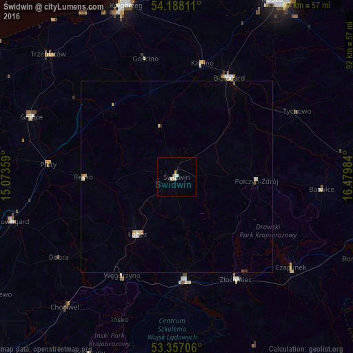
Analysis of Świdwin night lights 2016
Square area 10x10 km:
 0.26%
0.26%90-99
1.59%80-89
0.79%70-79
0.53%60-69
0.26%50-59
0.26%40-49
0%30-39
0%20-29
0.13%10-19
0.4%0-9
95.77%Square area 50x50 km:
0.06%90-99
0.16%80-89
0.07%70-79
0.12%60-69
0.04%50-59
0.03%40-49
0.04%30-39
0.04%20-29
0.03%10-19
0.02%0-9
99.39%Clear (daylight) street map image can be seen on geolist.org.
Map coordinates:
54° 11' 17.2" North, 15° 4' 24.9" East
53° 46' 28.7" North, 15° 46' 36.2" East
53° 21' 25.4" North, 16° 28' 47.4" East
Some cities around Świdwin sort by population:
• Białogard
29.3 km =18.2 mi,  28°
28°
• Gryfice
41 km =25.5 mi,  292°
292°
• Złocieniec
31 km =19.3 mi,  150°
150°
• Drawsko Pomorskie
27.2 km =16.9 mi,  175°
175°
• Łobez
18.2 km =11.3 mi,  214°
214°
• Połczyn-Zdrój
21 km =13 mi,  93°
93°
• Czaplinek
38.6 km =24 mi,  128°
128°
• Karlino
29.7 km =18.5 mi,  12°
12°
3084085 (p: 16,076)
Sources (retrieved 2019-11-25):
» Earth at Night: Flat Maps 2012, 2016