Kołobrzeg night lights from space
Night Light of Kołobrzeg (West Pomerania) from space (Poland) Src. Average luminocity for 10x10km area is 19.2576% and for 50x50km: 1.3418%.
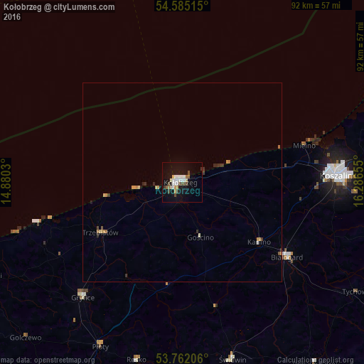
Analysis of Kołobrzeg night lights 2016
Square area 10x10 km:
 4.17%
4.17%90-99
3.79%80-89
1.64%70-79
1.52%60-69
1.39%50-59
1.14%40-49
3.54%30-39
1.14%20-29
0.25%10-19
21.21%0-9
60.23%Square area 50x50 km:
0.18%90-99
0.18%80-89
0.15%70-79
0.25%60-69
0.14%50-59
0.11%40-49
0.19%30-39
0.21%20-29
0.15%10-19
0.9%0-9
97.56%Clear (daylight) street map image can be seen on geolist.org.
Map coordinates:
54° 35' 6.5" North, 14° 52' 49.1" East
54° 10' 32.3" North, 15° 35' 0.3" East
53° 45' 43.4" North, 16° 17' 11.6" East
Some cities around Kołobrzeg sort by population:
• Koszalin
38.4 km =23.9 mi,  86°
86°
• Białogard
32.3 km =20.1 mi,  125°
125°
• Gryfice
38.2 km =23.7 mi,  220°
220°
• Świdwin
46.3 km =28.8 mi,  164°
164°
• Trzebiatów
24.3 km =15.1 mi,  238°
238°
• Połczyn-Zdrój
56.7 km =35.2 mi,  143°
143°
• Sianów
46.4 km =28.8 mi,  83°
83°
• Karlino
24.7 km =15.3 mi, 129°
3095795 (p: 44,377)
Sources (retrieved 2019-11-25):
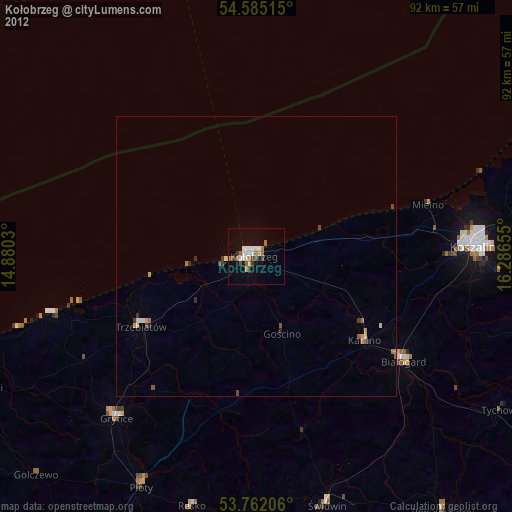
» Earth at Night: Flat Maps 2012, 2016