Kostrzyn night lights from space
Night Light of Kostrzyn (Greater Poland) from space (Poland) Src. Average luminocity for 10x10km area is 13.5682% and for 50x50km: 14.4433%.
Analysis of Kostrzyn night lights 2016
Square area 10x10 km:
 1.77%
1.77%90-99
2.78%80-89
2.02%70-79
0%60-69
0.88%50-59
2.15%40-49
0.88%30-39
1.26%20-29
1.14%10-19
2.78%0-9
84.34%Square area 50x50 km:
3.7%90-99
3.37%80-89
1.12%70-79
1.14%60-69
1.2%50-59
1.65%40-49
1.33%30-39
1.82%20-29
2.9%10-19
7.36%0-9
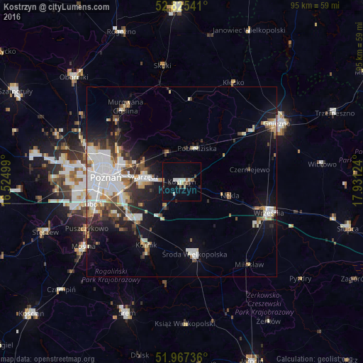
74.42%Clear (daylight) street map image can be seen on geolist.org.
Map coordinates:
52° 49' 31.5" North, 16° 31' 30" East
52° 23' 54.5" North, 17° 13' 41.2" East
51° 58' 2.5" North, 17° 55' 52.5" East
Some cities around Kostrzyn sort by population:
• Poznań
20.2 km =12.6 mi,  272°
272°
• Swarzędz
9.8 km =6.1 mi,  279°
279°
• Września
24.3 km =15.1 mi,  109°
109°
• Luboń
23.5 km =14.6 mi,  255°
255°
• Środa Wielkopolska
19.2 km =11.9 mi,  170°
170°
• Pobiedziska
9.7 km =6 mi,  24°
24°
• Kórnik
19.2 km =11.9 mi,  209°
209°
• Czerwonak
18.3 km =11.4 mi,  293°
293°
3095058 (p: 8,965)
Sources (retrieved 2019-11-25):
» Earth at Night: Flat Maps 2012, 2016