Września night lights from space
Night Light of Września (Greater Poland) from space (Poland) Src. Average luminocity for 10x10km area is 21.846% and for 50x50km: 4.2486%.
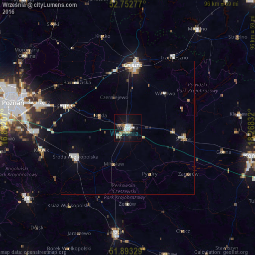
Analysis of Września night lights 2016
Square area 10x10 km:
 3.54%
3.54%90-99
6.06%80-89
2.4%70-79
0.76%60-69
2.9%50-59
2.02%40-49
0.51%30-39
1.01%20-29
2.78%10-19
25%0-9
53.03%Square area 50x50 km:
0.67%90-99
0.9%80-89
0.42%70-79
0.35%60-69
0.51%50-59
0.5%40-49
0.44%30-39
0.26%20-29
0.47%10-19
2.56%0-9
92.92%Clear (daylight) street map image can be seen on geolist.org.
Map coordinates:
52° 45' 10" North, 16° 51' 43.5" East
52° 19' 30.4" North, 17° 33' 54.7" East
51° 53' 35.8" North, 18° 16' 6" East
Some cities around Września sort by population:
• Gniezno
23.3 km =14.5 mi,  2°
2°
• Środa Wielkopolska
22.4 km =13.9 mi,  241°
241°
• Słupca
21.3 km =13.2 mi,  101°
101°
• Kostrzyn
24.3 km =15.1 mi,  289°
289°
• Pobiedziska
25.3 km =15.7 mi,  311°
311°
• Trzemeszno
31.6 km =19.6 mi,  33°
33°
• Witkowo
19 km =11.8 mi,  47°
47°
• Strzałkowo
17.3 km =10.7 mi, 96°
3081324 (p: 28,703)
Sources (retrieved 2019-11-25):
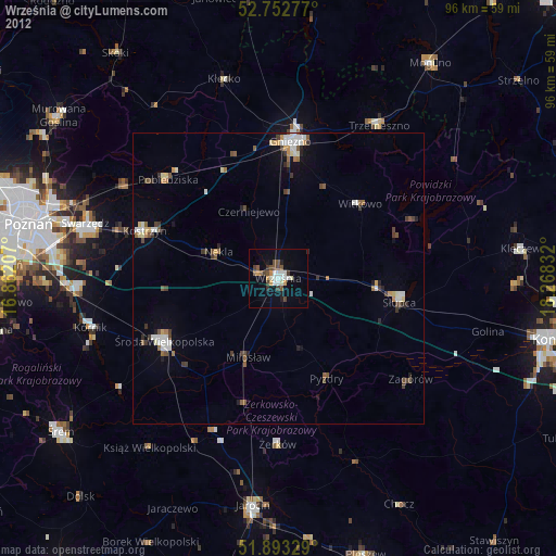
» Earth at Night: Flat Maps 2012, 2016