Kędzierzyn-Koźle night lights from space
Night Light of Kędzierzyn-Koźle (Opole Voivodeship) from space (Poland) Src. Average luminocity for 10x10km area is 23.7129% and for 50x50km: 4.7486%.
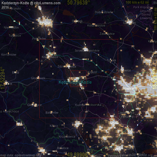

Analysis of Kędzierzyn-Koźle night lights 2016
Square area 10x10 km:
 3.08%
3.08%90-99
3.64%80-89
2.38%70-79
2.66%60-69
3.36%50-59
2.94%40-49
2.1%30-39
2.1%20-29
3.22%10-19
35.99%0-9
38.52%Square area 50x50 km:
0.43%90-99
0.78%80-89
0.38%70-79
0.31%60-69
0.67%50-59
0.69%40-49
0.63%30-39
0.69%20-29
0.59%10-19
3.98%0-9
90.85%Clear (daylight) street map image can be seen on geolist.org.
Map coordinates:
50° 47' 47" North, 17° 31' 22.6" East
50° 20' 59.4" North, 18° 13' 33.8" East
49° 53' 56.6" North, 18° 55' 45.1" East
Some cities around Kędzierzyn-Koźle sort by population:
• Racibórz
28.7 km =17.8 mi,  180°
180°
• Strzelce Opolskie
18.6 km =11.6 mi,  16°
16°
• Krapkowice
23.1 km =14.4 mi,  307°
307°
• Koźle
6.1 km =3.8 mi,  254°
254°
• Zdzieszowice
11.1 km =6.9 mi,  318°
318°
• Gogolin
21.5 km =13.4 mi, 317°
• Głogówek
25.7 km =16 mi,  270°
270°
• Kuźnia Raciborska
17.7 km =11 mi,  159°
159°
3096372 (p: 65,636)
Sources (retrieved 2019-11-25):
» NASA, Earths city lights 1995
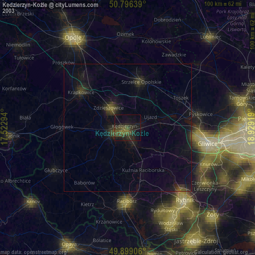
» NASA city lights 2003
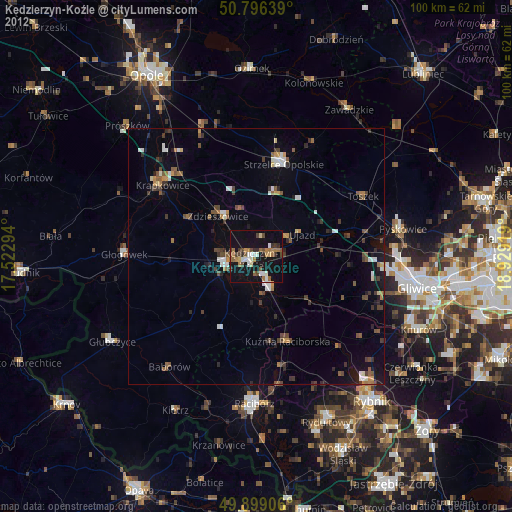
» Earth at Night: Flat Maps 2012, 2016