Dąbrowa Białostocka night lights from space
Night Light of Dąbrowa Białostocka (Podlasie) from space (Poland) Src. Average luminocity for 10x10km area is 2.2538% and for 50x50km: 0.7065%.
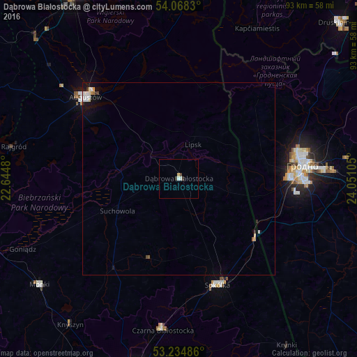
Analysis of Dąbrowa Białostocka night lights 2016
Square area 10x10 km:
 0.38%
0.38%90-99
0.63%80-89
0.51%70-79
0%60-69
0%50-59
0%40-49
0.51%30-39
1.01%20-29
0%10-19
0%0-9
96.97%Square area 50x50 km:
0.15%90-99
0.18%80-89
0.06%70-79
0.06%60-69
0.02%50-59
0.04%40-49
0.06%30-39
0.11%20-29
0.03%10-19
0.54%0-9
98.74%Clear (daylight) street map image can be seen on geolist.org.
Map coordinates:
54° 4' 5.9" North, 22° 38' 41.3" East
53° 39' 13.1" North, 23° 20' 52.5" East
53° 14' 5.5" North, 24° 3' 3.8" East
Some cities around Dąbrowa Białostocka sort by population:
• Hrodna, BY
31.7 km =19.7 mi,  83°
83°
• Suwałki
57.8 km =35.9 mi,  331°
331°
• Augustów
32.1 km =19.9 mi,  311°
311°
• Sokółka
29.2 km =18.1 mi,  159°
159°
• Mońki
45.7 km =28.4 mi,  232°
232°
• Czarna Białostocka
39 km =24.2 mi,  186°
186°
• Wasilków
51.4 km =31.9 mi, 190°
• Sejny
50.5 km =31.4 mi,  359°
359°
773593 (p: 6,044)
Sources (retrieved 2019-11-25):
» Earth at Night: Flat Maps 2012, 2016