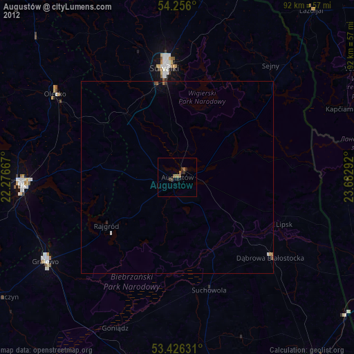
Augustów night lights from space
Night Light of Augustów (Podlasie) from space (Poland) Src. Average luminocity for 10x10km area is 19.1508% and for 50x50km: 1.1959%.
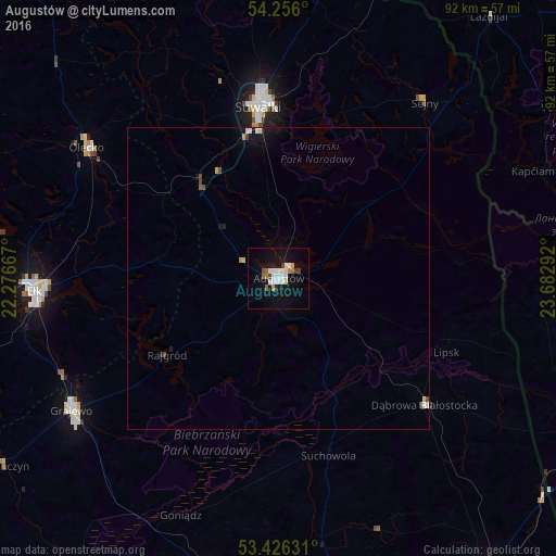
Analysis of Augustów night lights 2016
Square area 10x10 km:
 4.63%
4.63%90-99
4.89%80-89
0.53%70-79
1.59%60-69
1.46%50-59
1.72%40-49
1.06%30-39
1.06%20-29
0.53%10-19
20.9%0-9
61.64%Square area 50x50 km:
0.22%90-99
0.25%80-89
0.1%70-79
0.07%60-69
0.09%50-59
0.1%40-49
0.13%30-39
0.1%20-29
0.09%10-19
1.12%0-9
97.73%Clear (daylight) street map image can be seen on geolist.org.
Map coordinates:
54° 15' 21.6" North, 22° 16' 36" East
53° 50' 35.6" North, 22° 58' 47.2" East
53° 25' 34.7" North, 23° 40' 58.5" East
Some cities around Augustów sort by population:
• Hrodna, BY
58.2 km =36.2 mi,  107°
107°
• Suwałki
30 km =18.6 mi,  353°
353°
• Ełk
40.4 km =25.1 mi,  267°
267°
• Grajewo
40.8 km =25.4 mi,  237°
237°
• Olecko
37.5 km =23.3 mi,  304°
304°
• Mońki
50.2 km =31.2 mi,  193°
193°
• Dąbrowa Białostocka
32.1 km =19.9 mi,  131°
131°
• Sejny
38 km =23.6 mi,  39°
39°
776597 (p: 29,752)
Sources (retrieved 2019-11-25):
» Earth at Night: Flat Maps 2012, 2016