Hrodna night lights from space
Night Light of Hrodna (Grodnenskaya) from space (Belarus) Src. Average luminocity for 10x10km area is 53.5947% and for 50x50km: 3.3069%.
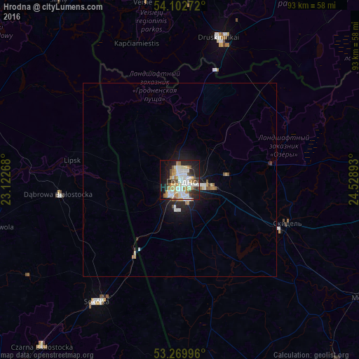
Analysis of Hrodna night lights 2016
Square area 10x10 km:
 13.01%
90-99
14.27%80-89
6.57%70-79
8.84%60-69
4.42%50-59
3.28%40-49
3.79%30-39
4.04%20-29
15.66%10-19
19.07%0-9
7.07%Square area 50x50 km:
0.63%90-99
0.71%80-89
0.34%70-79
0.46%60-69
0.25%50-59
0.33%40-49
0.2%30-39
0.23%20-29
0.97%10-19
2.52%0-9
93.35%Clear (daylight) street map image can be seen on geolist.org.
Map coordinates:
54° 6' 9.8" North, 23° 7' 21.6" East
53° 41' 18.2" North, 23° 49' 32.9" East
53° 16' 11.9" North, 24° 31' 44.1" East
Some cities around Hrodna sort by population:
• Sokółka, PL
37.9 km =23.5 mi,  214°
214°
• Druskininkai, LT
37.9 km =23.5 mi,  16°
16°
• Mosty
56.2 km =34.9 mi,  123°
123°
• Skidel’
29.9 km =18.6 mi,  111°
111°
• Czarna Białostocka, PL
55.8 km =34.7 mi,  220°
220°
• Dąbrowa Białostocka, PL
31.7 km =19.7 mi,  263°
263°
• Vyalikaya Byerastavitsa
56.2 km =34.9 mi,  167°
167°
• Sejny, PL
56.2 km =34.9 mi,  326°
326°
627904 (p: 317,365)
Sources (retrieved 2019-11-25):
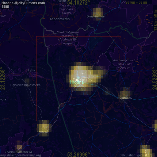
» NASA, Earths city lights 1995
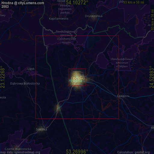
» NASA city lights 2003
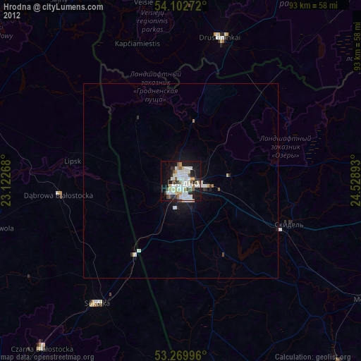
» Earth at Night: Flat Maps 2012, 2016