Sejny night lights from space
Night Light of Sejny (Podlasie) from space (Poland) Src. Average luminocity for 10x10km area is 1.4116% and for 50x50km: 0.2725%.
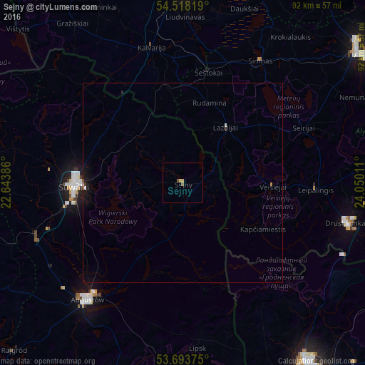
Analysis of Sejny night lights 2016
Square area 10x10 km:
 0%
0%90-99
0%80-89
0.38%70-79
0.63%60-69
0%50-59
0.51%40-49
0.51%30-39
0%20-29
0%10-19
0%0-9
97.98%Square area 50x50 km:
0.01%90-99
0.04%80-89
0.02%70-79
0.05%60-69
0.01%50-59
0.04%40-49
0.02%30-39
0.04%20-29
0.03%10-19
0.31%0-9
99.45%Clear (daylight) street map image can be seen on geolist.org.
Map coordinates:
54° 31' 5.5" North, 22° 38' 37.9" East
54° 6' 28.9" North, 23° 20' 49.1" East
53° 41' 37.5" North, 24° 3' 0.4" East
Some cities around Sejny sort by population:
• Hrodna, BY
56.2 km =34.9 mi,  146°
146°
• Alytus, LT
55.3 km =34.4 mi,  54°
54°
• Suwałki
27.1 km =16.8 mi,  270°
270°
• Marijampolė, LT
50.2 km =31.2 mi,  0°
0°
• Augustów
38 km =23.6 mi,  219°
219°
• Druskininkai, LT
43 km =26.7 mi,  103°
103°
• Olecko
55.4 km =34.4 mi,  261°
261°
• Dąbrowa Białostocka
50.5 km =31.4 mi,  179°
179°
759503 (p: 5,872)
Sources (retrieved 2019-11-25):
» Earth at Night: Flat Maps 2012, 2016