Suwałki night lights from space
Night Light of Suwałki (Podlasie) from space (Poland) Src. Average luminocity for 10x10km area is 27.572% and for 50x50km: 1.4652%.
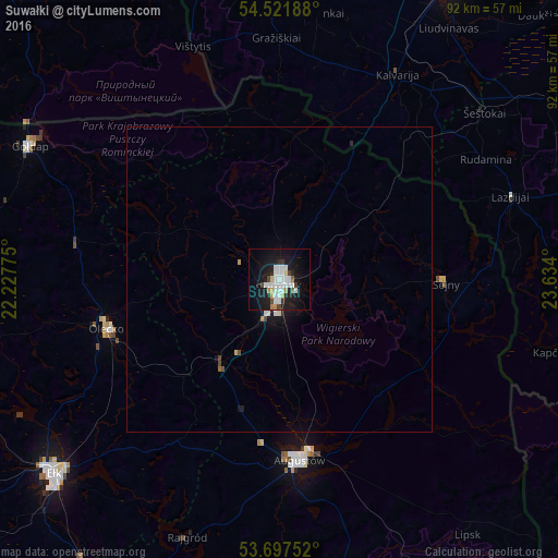
Analysis of Suwałki night lights 2016
Square area 10x10 km:
 8.71%
8.71%90-99
5.93%80-89
1.01%70-79
2.53%60-69
1.26%50-59
0.76%40-49
2.27%30-39
1.64%20-29
4.92%10-19
31.44%0-9
39.52%Square area 50x50 km:
0.38%90-99
0.27%80-89
0.08%70-79
0.13%60-69
0.07%50-59
0.06%40-49
0.14%30-39
0.11%20-29
0.25%10-19
1.57%0-9
96.97%Clear (daylight) street map image can be seen on geolist.org.
Map coordinates:
54° 31' 18.8" North, 22° 13' 39.9" East
54° 6' 42.3" North, 22° 55' 51.1" East
53° 41' 51.1" North, 23° 38' 2.4" East
Some cities around Suwałki sort by population:
• Ełk
48.6 km =30.2 mi,  229°
229°
• Marijampolė, LT
56.9 km =35.4 mi,  28°
28°
• Augustów
30 km =18.6 mi,  173°
173°
• Olecko
29 km =18 mi,  252°
252°
• Gołdap
46.2 km =28.7 mi,  297°
297°
• Kybartai, LT
59.6 km =37 mi,  349°
349°
• Dąbrowa Białostocka
57.8 km =35.9 mi,  151°
151°
• Sejny
27.1 km =16.8 mi,  90°
90°
757718 (p: 69,222)
Sources (retrieved 2019-11-25):
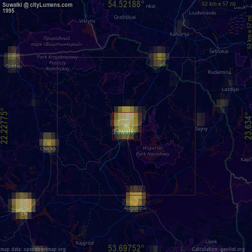
» NASA, Earths city lights 1995
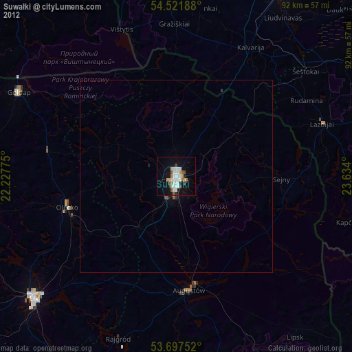
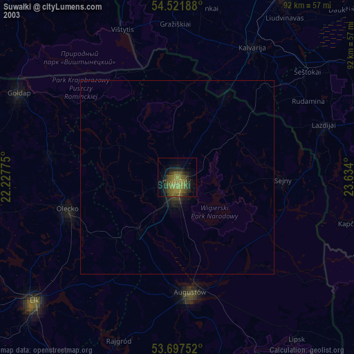
» NASA city lights 2003
» Earth at Night: Flat Maps 2012, 2016