Sehwan night lights from space
Night Light of Sehwan (Sindh) from space (Pakistan) Src. Average luminocity for 10x10km area is 13.3864% and for 50x50km: 1.7109%.
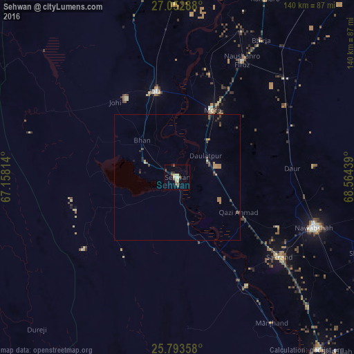
Analysis of Sehwan night lights 2016
Square area 10x10 km:
 0.38%
0.38%90-99
0.95%80-89
4.73%70-79
1.52%60-69
0.95%50-59
3.6%40-49
1.7%30-39
0.57%20-29
0.76%10-19
1.89%0-9
82.95%Square area 50x50 km:
0.02%90-99
0.04%80-89
0.29%70-79
0.29%60-69
0.4%50-59
0.32%40-49
0.48%30-39
0.12%20-29
0.17%10-19
0.46%0-9
97.42%Clear (daylight) street map image can be seen on geolist.org.
Map coordinates:
27° 3' 10.4" North, 67° 9' 29.3" East
26° 25' 29.8" North, 67° 51' 40.5" East
25° 47' 36.9" North, 68° 33' 51.8" East
Some cities around Sehwan sort by population:
• Dadu
35 km =21.7 mi,  346°
346°
• Moro
29.9 km =18.6 mi,  27°
27°
• Daur
45.6 km =28.3 mi,  85°
85°
• Bhan
20.3 km =12.6 mi,  316°
316°
• Johi
38.6 km =24 mi, 320°
• Daulatpur
13.8 km =8.6 mi,  51°
51°
• Darya Khan Marri
50.8 km =31.6 mi,  56°
56°
• Bandhi
47.5 km =29.5 mi,  67°
67°
1165789 (p: 41,150)
Sources (retrieved 2019-11-25):
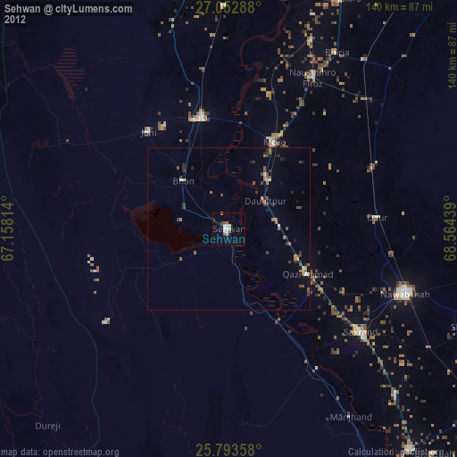
» Earth at Night: Flat Maps 2012, 2016