Johi night lights from space
Night Light of Johi (Sindh) from space (Pakistan) Src. Average luminocity for 10x10km area is 5.3674% and for 50x50km: 1.0775%.
Analysis of Johi night lights 2016
Square area 10x10 km:
 0%
0%90-99
0.19%80-89
2.08%70-79
0%60-69
1.14%50-59
1.89%40-49
1.89%30-39
0.76%20-29
0%10-19
0%0-9
92.05%Square area 50x50 km:
0.03%90-99
0.13%80-89
0.29%70-79
0.06%60-69
0.2%50-59
0.15%40-49
0.23%30-39
0.12%20-29
0.06%10-19
0.19%0-9
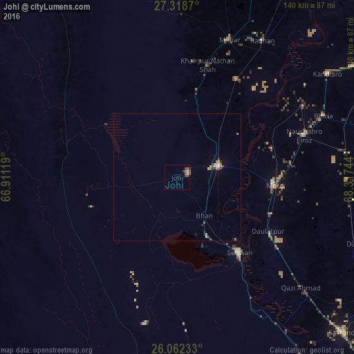
98.53%Clear (daylight) street map image can be seen on geolist.org.
Map coordinates:
27° 19' 7.3" North, 66° 54' 40.3" East
26° 41' 32.1" North, 67° 36' 51.5" East
26° 3' 44.4" North, 68° 19' 2.8" East
Some cities around Johi sort by population:
• Dadu
16.7 km =10.4 mi,  75°
75°
• Moro
38.5 km =23.9 mi,  94°
94°
• Sehwan
38.6 km =24 mi,  140°
140°
• Khairpur Nathan Shah
45.9 km =28.5 mi,  15°
15°
• Sīta Road
44.6 km =27.7 mi,  31°
31°
• Bhan
18.3 km =11.4 mi, 144°
• Daulatpur
41.3 km =25.7 mi,  120°
120°
• Goth Phulji
22 km =13.7 mi, 17°
1175678 (p: 16,311)
Sources (retrieved 2019-11-25):
» Earth at Night: Flat Maps 2012, 2016