Gharo night lights from space
Night Light of Gharo (Sindh) from space (Pakistan) Src. Average luminocity for 10x10km area is 11.744% and for 50x50km: 6.1391%.
Analysis of Gharo night lights 2016
Square area 10x10 km:
 0%
0%90-99
0%80-89
3.17%70-79
0.99%60-69
3.57%50-59
0.99%40-49
3.17%30-39
3.17%20-29
0.99%10-19
2.18%0-9
81.75%Square area 50x50 km:
0.19%90-99
0.47%80-89
1.67%70-79
0.67%60-69
1.15%50-59
1.22%40-49
1.29%30-39
0.78%20-29
0.99%10-19
3.64%0-9
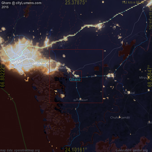
87.93%Clear (daylight) street map image can be seen on geolist.org.
Map coordinates:
25° 22' 43.5" North, 66° 52' 56" East
24° 44' 30.6" North, 67° 35' 7.2" East
24° 6' 5.8" North, 68° 17' 18.5" East
Some cities around Gharo sort by population:
• Karachi
59.5 km =37 mi,  282°
282°
• Malir Cantonment
44.4 km =27.6 mi,  300°
300°
• Thatta
34.2 km =21.3 mi,  88°
88°
• Chuhar Jamali
56.5 km =35.1 mi,  133°
133°
• Daromehar
60.3 km =37.5 mi,  84°
84°
• Jati
81.3 km =50.5 mi,  121°
121°
• Mirpur Bhtoro
68.2 km =42.4 mi, 91°
• Mirpur Sakro
22.1 km =13.7 mi,  168°
168°
1178587 (p: 19,524)
Sources (retrieved 2019-11-25):
» Earth at Night: Flat Maps 2012, 2016